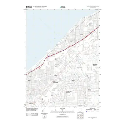
2010 Map of East Cleveland
USGS Topo · Published 2010About this map
Lake Erie defines the northern edge of this urban landscape, where the shoreline meets established neighborhoods like Manhattan Beach and Beulah Park. The industrial and transit identity of the area is anchored by the massive Collinwood Yard, a major rail hub that splits the residential grids of Collinwood and Nottingham. Further south, the map details the dense cultural and educational institutional hub of University Circle, including the campus of Case Western Reserve University and the historic Little Italy district.
Find a feature on this map
66 named features on this map. Tap any name to fly to it.
Don’t see what you’re looking for? This feature index may not catch every label — zoom into the map to look around manually.
Map Details
Editions of this 2010 East Cleveland Map
This is the sole edition of this map. No revisions or reprints were ever made.
Other maps of this area

1901 · Euclid
USGS Topo · 1:62,500

1903 · Cleveland
USGS Topo · 1:62,500

1903 · Euclid
USGS Topo · 1:62,500

1905 · Mentor
USGS Topo · 1:62,500

1906 · Chagrin Falls
USGS Topo · 1:62,500

1907 · Mentor
USGS Topo · 1:62,500

1908 · Chagrin Falls
USGS Topo · 1:62,500

1950 · Cleveland
USGS Topo · 1:250,000

1953 · Chagrin Falls
USGS Topo · 1:24,000

1953 · Shaker Heights
USGS Topo · 1:24,000