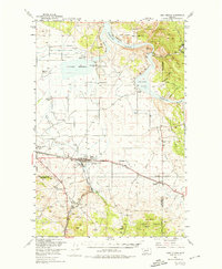
1950 Map of East Helena
USGS Topo · Published 1974About this map
East Helena serves as the industrial and transportation nexus for this region, situated where the Northern Pacific and Great Northern railroads converge. The map reflects a landscape defined by water management and mineral extraction, featuring a complex network of flumes, ditches, and an aqueduct north of the city near Prickly Pear Creek. The Missouri River's influence is clear through the presence of Lake Helena and Hauser Lake, while the eastern hills are etched with numerous gulches such as York Gulch and Cave Gulch.
Find a feature on this map
63 named features on this map. Tap any name to fly to it.
Don’t see what you’re looking for? This feature index may not catch every label — zoom into the map to look around manually.
Map Details
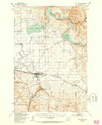
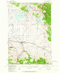
Editions of this 1950 East Helena Map
4 editions found

Other maps of this area

1886 · Fort Logan
USGS Topo · 1:250,000

1889 · Helena
USGS Topo · 1:250,000

1893 · Helena
USGS Topo · 1:250,000

1899 · Boulder
USGS Topo · 1:125,000

1899 · Helena
USGS Topo · 1:62,500

1899 · Helena
USGS Topo · 1:250,000

1903 · Helena
USGS Topo · 1:250,000

1947 · Butte
USGS Topo · 1:250,000

1948 · White Sulphur Springs
USGS Topo · 1:250,000

1950 · Jefferson City
USGS Topo · 1:62,500