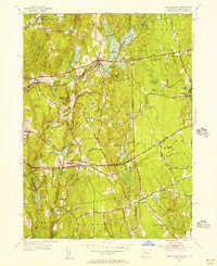
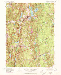
1955 Map of East Killingly
USGS Topo · Published 1956About this map
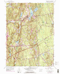
East Killingly serves as a central hub in this mid-century topographic record of the borderlands between Windham Co and Providence Co. The landscape is defined by a complex network of water bodies and reservoirs, such as Eddy Pray Reservoir, Middle Reservoir, and Killingly Pond, which supported the mills and industry of the Fivemile River and Whetstone Brook valleys. Moving east across the state line into Rhode Island, the terrain rises toward Jerimoth Hill and Mt Hygeia, while the southern reaches transition into the wetlands of Balm of Gilead Swamp and Honeypot Swamp.
Find a feature on this map
74 named features on this map. Tap any name to fly to it.
Don’t see what you’re looking for? This feature index may not catch every label — zoom into the map to look around manually.
Map Details
Editions of this 1955 East Killingly Map
6 editions found
Other maps of this area

1889 · Putnam
USGS Topo · 1:62,500

1889 · Burrillville
USGS Topo · 1:62,500

1889 · Moosup
USGS Topo · 1:62,500

1890 · Kent
USGS Topo · 1:62,500

1893 · Putnam
USGS Topo · 1:62,500

1893 · Moosup
USGS Topo · 1:62,500

1894 · Burrillville
USGS Topo · 1:62,500

1894 · Kent
USGS Topo · 1:62,500

1915 · Burrillville
USGS Topo · 1:62,500

1919 · Putnam
USGS Topo · 1:62,500