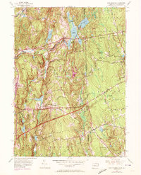
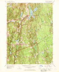
1955 Map of East Killingly
USGS Topo · Published 1972About this map
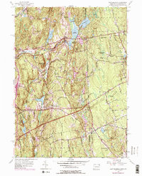
Ballouville and East Killingly anchor this mid-century look at the Connecticut and Rhode Island borderlands. The landscape is defined by its complex water management and high points, including Mashentuck Mountain and Jerimoth Hill, the latter standing as a prominent landmark in the Foster area. The map illustrates a transitional period for regional transit, where traditional routes like the Hartford Pike and Danielson Pike are augmented by the 1959 addition of the Connecticut Turnpike. Local history is preserved through labels for the Hopkins Sch and several small water bodies that supported earlier industry, such as Shippee Sawmill Pond and Bog Meadow Reservoir. The boundary between Windham County and Providence County bisects the map, showing how these rural communities across the Rhode Island and Connecticut line were physically linked by geography and road networks.
Find a feature on this map
56 named features on this map. Tap any name to fly to it.
Don’t see what you’re looking for? This feature index may not catch every label — zoom into the map to look around manually.
Map Details
Editions of this 1955 East Killingly Map
6 editions found
Other maps of this area

1889 · Putnam
USGS Topo · 1:62,500

1889 · Burrillville
USGS Topo · 1:62,500

1889 · Moosup
USGS Topo · 1:62,500

1890 · Kent
USGS Topo · 1:62,500

1893 · Putnam
USGS Topo · 1:62,500

1893 · Moosup
USGS Topo · 1:62,500

1894 · Burrillville
USGS Topo · 1:62,500

1894 · Kent
USGS Topo · 1:62,500

1915 · Burrillville
USGS Topo · 1:62,500

1919 · Putnam
USGS Topo · 1:62,500