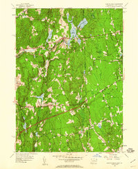
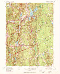
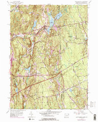
1955 Map of East Killingly
USGS Topo · Published 1960About this map
The borderlands between Windham County, Connecticut and Providence County, Rhode Island appear here during a period of infrastructure expansion in the mid-1950s. While small textile-era settlements like Ballouville and East Killingly dot the landscape, the newly added Connecticut Turnpike cuts across the southern portion of the map, marked by Interchange 90 and Interchange 91. This juxtaposition of colonial-rooted villages and modern highway development captures the region's mid-century shift toward increased connectivity.
Find a feature on this map
50 named features on this map. Tap any name to fly to it.
Don’t see what you’re looking for? This feature index may not catch every label — zoom into the map to look around manually.
Map Details
Editions of this 1955 East Killingly Map
6 editions found
Other maps of this area

1889 · Putnam
USGS Topo · 1:62,500

1889 · Burrillville
USGS Topo · 1:62,500

1889 · Moosup
USGS Topo · 1:62,500

1890 · Kent
USGS Topo · 1:62,500

1893 · Putnam
USGS Topo · 1:62,500

1893 · Moosup
USGS Topo · 1:62,500

1894 · Burrillville
USGS Topo · 1:62,500

1894 · Kent
USGS Topo · 1:62,500

1915 · Burrillville
USGS Topo · 1:62,500

1919 · Putnam
USGS Topo · 1:62,500