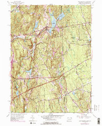
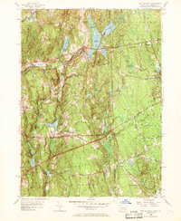
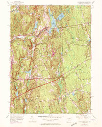
1955 Map of East Killingly
USGS Topo · Published 1977About this map
East Killingly sits at the heart of this landscape where the undulating hills of eastern Connecticut meet the Rhode Island border. The 1955 topography, updated with mid-1970s revisions, reveals a region defined by its water resources and textile-era heritage. Reservoirs such as Eddy Pray Reservoir, Middle Reservoir, and Chase Reservoir flank the central settlements, reflecting the historical dependence on water power along the Fivemile River. Further south, the Connecticut Turnpike carves through the terrain, a modern contrast to the older network of the Hartford Pike and Providence Pike.
Find a feature on this map
55 named features on this map. Tap any name to fly to it.
Don’t see what you’re looking for? This feature index may not catch every label — zoom into the map to look around manually.
Map Details
Editions of this 1955 East Killingly Map
6 editions found
Other maps of this area

1889 · Putnam
USGS Topo · 1:62,500

1889 · Burrillville
USGS Topo · 1:62,500

1889 · Moosup
USGS Topo · 1:62,500

1890 · Kent
USGS Topo · 1:62,500

1893 · Putnam
USGS Topo · 1:62,500

1893 · Moosup
USGS Topo · 1:62,500

1894 · Burrillville
USGS Topo · 1:62,500

1894 · Kent
USGS Topo · 1:62,500

1915 · Burrillville
USGS Topo · 1:62,500

1919 · Putnam
USGS Topo · 1:62,500