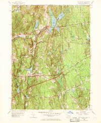
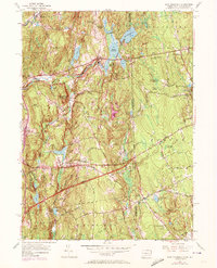
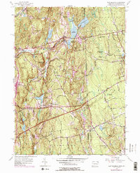
1955 Map of East Killingly
USGS Topo · Published 1969About this map
The rugged topography of Mashentuck Mountain and Jerimoth Hill defines the borderlands between Windham County and Providence County. This 1955 survey shows a rural landscape dominated by a complex network of water bodies, including Bog Meadow Reservoir, Middle Reservoir, and the Eddy Pray Reservoir, which highlight the importance of water management for local settlements like East Killingly and South Killingly. The inclusion of the Connecticut Turnpike and Interchange 91 in a 1959 revision marks the arrival of modern interstate transportation through these traditional highlands.
Find a feature on this map
56 named features on this map. Tap any name to fly to it.
Don’t see what you’re looking for? This feature index may not catch every label — zoom into the map to look around manually.
Map Details
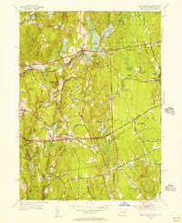
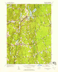
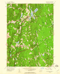
Editions of this 1955 East Killingly Map
6 editions found
Other maps of this area

1889 · Putnam
USGS Topo · 1:62,500

1889 · Burrillville
USGS Topo · 1:62,500

1889 · Moosup
USGS Topo · 1:62,500

1890 · Kent
USGS Topo · 1:62,500

1893 · Putnam
USGS Topo · 1:62,500

1893 · Moosup
USGS Topo · 1:62,500

1894 · Burrillville
USGS Topo · 1:62,500

1894 · Kent
USGS Topo · 1:62,500

1915 · Burrillville
USGS Topo · 1:62,500

1919 · Putnam
USGS Topo · 1:62,500