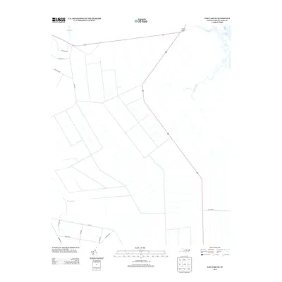
2013 Map of East Lake SE
USGS Topo · Published 2013About this map
Croatan Sound defines the northeastern edge of this landscape, where the coastal waters meet a network of creeks and drainage canals that dominate the interior. This 2013 survey reveals a highly organized grid of drainage features and access roads across the low-lying terrain, likely indicating managed timberlands or specialized agricultural parcels. Localized thoroughfares such as Twiford Rd, Miltail Rd, and Sawyer Lake Rd provide the primary movement through these inland blocks, while the more significant 64 and 264 routes provide regional connectivity. The presence of Spencer Cr and Callaghan Cr near the sound contrast with the straight lines of the interior canals like Long Stretch, illustrating the conversion of coastal wetlands into productive land. This map is a clear record of the intersection between North Carolina's coastal hydrology and industrial land management.
Find a feature on this map
19 named features on this map. Tap any name to fly to it.
Don’t see what you’re looking for? This feature index may not catch every label — zoom into the map to look around manually.
Map Details
Editions of this 2013 East Lake SE Map
This is the sole edition of this map. No revisions or reprints were ever made.
Other maps of this area
1943 · Roanoke Island
USGS Topo · 1:125,000
1953 · Wanchese
USGS Topo · 1:24,000
1953 · Engelhard NW
USGS Topo · 1:24,000
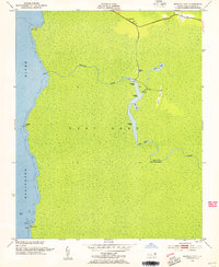
1953 · Buffalo City
USGS Topo · 1:24,000
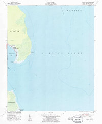
1953 · Stumpy Point
USGS Topo · 1:24,000
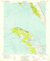
1953 · Manteo
USGS Topo · 1:24,000
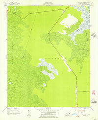
1953 · East Lake SE
USGS Topo · 1:24,000
1953 · Manns Harbor
USGS Topo · 1:24,000
1953 · East Lake
USGS Topo · 1:24,000
1953 · Engelhard NE
USGS Topo · 1:24,000