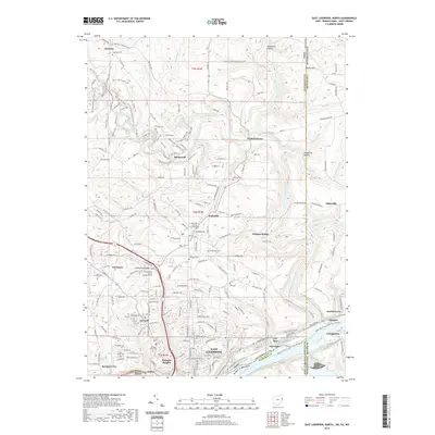
2019 Map of East Liverpool North
USGS Topo · Published 2019About this map
The Ohio River shoreline anchors this industrial and residential landscape, where the tri-state borders of Ohio, Pennsylvania, and West Virginia converge. In the southern portion of the quadrangle, the city of East Liverpool sits atop the river bluffs, surrounded by established neighborhoods like Pleasant Heights and East End. The terrain to the north transitions into the steep ravines of the Little Beaver Creek valley, a corridor marked by the N Country National Scenic Trail and small historic nodes such as Fredericktown and Sprucevale.
Find a feature on this map
205 named features on this map. Tap any name to fly to it.
Don’t see what you’re looking for? This feature index may not catch every label — zoom into the map to look around manually.
Map Details
Editions of this 2019 East Liverpool North Map
This is the sole edition of this map. No revisions or reprints were ever made.
Other maps of this area

1901 · Beaver
USGS Topo · 1:62,500

1902 · New Castle
USGS Topo · 1:62,500

1904 · Newcastle
USGS Topo · 1:62,500

1904 · Wellsville
USGS Topo · 1:62,500

1904 · Beaver
USGS Topo · 1:62,500

1907 · Columbiana
USGS Topo · 1:62,500

1909 · Columbiana
USGS Topo · 1:62,500

1937 · Wellsville
USGS Topo · 1:62,500

1944 · Wellsville
USGS Topo · 1:62,500

1951 · Canton
USGS Topo · 1:250,000