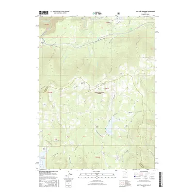
2017 Map of East Park Reservoir
USGS Topo · Published 2017About this map
Ashley National Forest dominates this high-elevation landscape along the Daggett and Uintah County line. The terrain is defined by a series of alpine meadows and clearings known as "parks," including Lonesome Park, Brush Park, and Dyer Park, which punctuate the dense forest cover. Central to the area is East Park Reservoir, which regulates the flow of Little Brush Cr as it drains south through the high plateaus. The map details an extensive network of recreational and historic paths, most notably the Uinta Highline trail that traverses the central ridges. To the north, the headwaters of the E Fork Eagle Cr and W Fork Eagle Cr converge near Eagle Basin, while the Don Hatch Memorial Snowmobile trail provides a dedicated route across the northern reaches of the quadrangle, illustrating the modern recreational use of these traditional public lands.
Find a feature on this map
63 named features on this map. Tap any name to fly to it.
Don’t see what you’re looking for? This feature index may not catch every label — zoom into the map to look around manually.
Map Details
Editions of this 2017 East Park Reservoir Map
This is the sole edition of this map. No revisions or reprints were ever made.
Other maps of this area
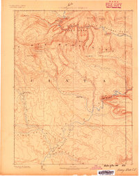
1885 · Ashley
USGS Topo · 1:250,000
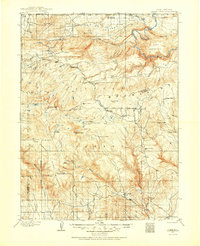
1906 · Marsh Peak
USGS Topo · 1:125,000
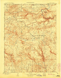
1908 · Marsh Peak
USGS Topo · 1:125,000
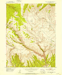
1950 · Burnt Cabin Gorge
USGS Topo · 1:24,000
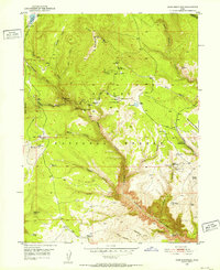
1950 · Dyer Mountain
USGS Topo · 1:24,000
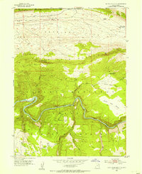
1952 · Dutch John Mtn
USGS Topo · 1:24,000
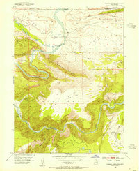
1952 · Flaming Gorge
USGS Topo · 1:24,000

1954 · Vernal
USGS Topo · 1:250,000

1958 · Vernal
USGS Topo · 1:250,000

1960 · Vernal
USGS Topo · 1:250,000