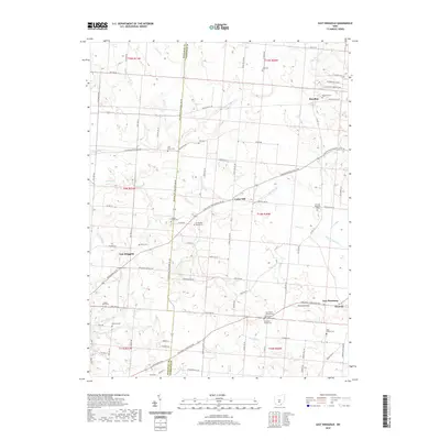
2019 Map of East Ringgold
USGS Topo · Published 2019About this map
The Pickaway and Fairfield county line bisects this region of central Ohio, where a network of agricultural roads connects long-standing rural communities. Settlements like Royalton, East Ringgold, and Amanda serve as local anchors, their permanence marked by a high density of ancestral burial grounds. Genealogists can find numerous family and community sites, including the Nigh Family Cemetery, Wagner Farm Cemetery, and Chester Peters Cemetery. The landscape is defined by the drainage of Clear Creek and its many tributaries, such as Cherry Run, Muddy Prairie Creek, and Dunkle Run. These waterways carved the terrain surrounding Bunker Hill, creating the varied topography that dictated the placement of early homesteads and the winding paths of township roads like Winchester Southern Road and Lancaster Circleville Road.
Find a feature on this map
99 named features on this map. Tap any name to fly to it.
Don’t see what you’re looking for? This feature index may not catch every label — zoom into the map to look around manually.
Map Details
Editions of this 2019 East Ringgold Map
This is the sole edition of this map. No revisions or reprints were ever made.
Other maps of this area

1907 · Lancaster
USGS Topo · 1:62,500

1907 · Thurston
USGS Topo · 1:62,500

1909 · Lancaster
USGS Topo · 1:62,500

1909 · Thurston
USGS Topo · 1:62,500

1914 · Circleville
USGS Topo · 1:62,500

1925 · East Columbus
USGS Topo · 1:62,500

1943 · Circleville
USGS Topo · 1:62,500

1943 · East Columbus
USGS Topo · 1:62,500

1947 · Columbus
USGS Topo · 1:250,000
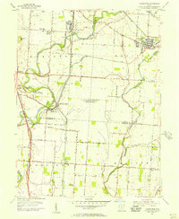
1955 · Lockbourne
USGS Topo · 1:24,000