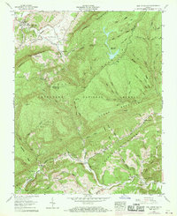
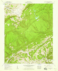
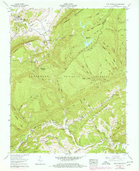
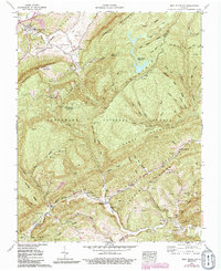
1957 Map of East Stone Gap
USGS Topo · Published 1970About this map
The Powell River and its South Fork carve a complex landscape across the boundary of Wise and Scott counties. This 1957 record, updated with 1969 aerial data, reveals a dense network of family cemeteries and small rural congregations that define the social geography of the Clinch River basin. From the namesake East Stone Gap to the smaller settlement at Cracker Neck, the map details a world of small-scale infrastructure including the Powell Valley Airport and a drive-in theater tucked against the northern slopes.
Find a feature on this map
83 named features on this map. Tap any name to fly to it.
Don’t see what you’re looking for? This feature index may not catch every label — zoom into the map to look around manually.
Map Details
Editions of this 1957 East Stone Gap Map
4 editions found
Other maps of this area

1894 · Estillville
USGS Topo · 1:125,000

1920 · Wise
USGS Topo · 1:48,000

1921 · Big Stone Gap
USGS Topo · 1:48,000

1921 · Wise
USGS Topo · 1:62,500

1922 · Big Stone Gap
USGS Topo · 1:62,500

1929 · Big Stone Gap
USGS Topo · 1:62,500
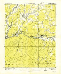
1935 · Wise
USGS Topo · 1:24,000

1935 · Moggasin
USGS Topo · 1:48,000
1935 · Norton
USGS Topo · 1:24,000
1935 · Appalachia
USGS Topo · 1:24,000