
1885 Map of East Tavaputs
USGS Topo · Published 1885About this map
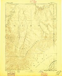
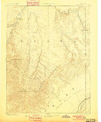
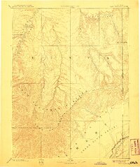
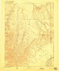
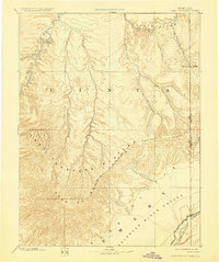
The East Tavaputs Plateau dominates this late nineteenth-century topographic study, which documents the complex drainage systems and massive escarpments of eastern Utah. The landscape is defined by the sharp vertical relief of the Roan or Brown Cliffs and the Book Cliffs, which separate the higher plateau from the lower Grand River Valley. In the southeast, the Denver and Rio Grande Western railroad corridor follows the valley floor, providing a vital transportation link through this challenging terrain.
Find a feature on this map
18 named features on this map. Tap any name to fly to it.
Don’t see what you’re looking for? This feature index may not catch every label — zoom into the map to look around manually.
Map Details
Editions of this 1885 East Tavaputs Map
6 editions found
Other maps of this area

1885 · San Rafael
USGS Topo · 1:250,000

1885 · La Sal
USGS Topo · 1:250,000

1885 · Ashley
USGS Topo · 1:250,000

1885 · Uinta
USGS Topo · 1:250,000

1886 · Price River
USGS Topo · 1:250,000

1896 · Price River
USGS Topo · 1:250,000

1907 · Rangely
USGS Topo · 1:125,000

1907 · Jensen
USGS Topo · 1:125,000

1910 · Jensen
USGS Topo · 1:125,000

1910 · Rangely
USGS Topo · 1:125,000