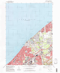
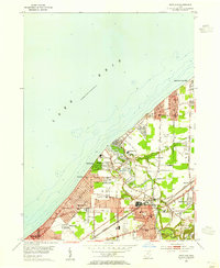
1994 Map of Eastlake
USGS Topo · Published 1997About this map
The Lake Erie shoreline in the mid-1990s reveals a dense network of suburban development stretching from Euclid through Willowick and Eastlake. This coastal stretch is characterized by its organized residential grid, punctuated by a significant concentration of educational institutions such as North High Sch and St Mary Magdalene Sch. The eastern edge of the map is dominated by the winding path of the Chagrin River, which carves through a landscape of recreational and aviation infrastructure, including the Lost Nation Airport and several private clubs like the Lost Nation Country Club.
Find a feature on this map
57 named features on this map. Tap any name to fly to it.
Don’t see what you’re looking for? This feature index may not catch every label — zoom into the map to look around manually.
Map Details
Editions of this 1994 Eastlake Map
This is the sole edition of this map. No revisions or reprints were ever made.
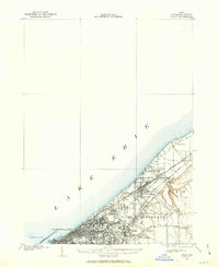
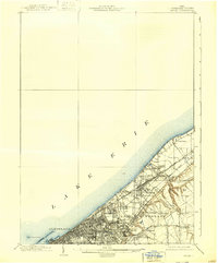
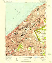
Other maps of this area
1901 · Euclid
USGS Topo · 1:62,500
1903 · Euclid
USGS Topo · 1:62,500

1905 · Mentor
USGS Topo · 1:62,500

1907 · Mentor
USGS Topo · 1:62,500

1950 · Cleveland
USGS Topo · 1:250,000
1953 · East Cleveland
USGS Topo · 1:24,000
1953 · Mayfield Heights
USGS Topo · 1:24,000
1953 · Chesterland
USGS Topo · 1:24,000
1953 · Mentor
USGS Topo · 1:24,000
1953 · Eastlake
USGS Topo · 1:24,000