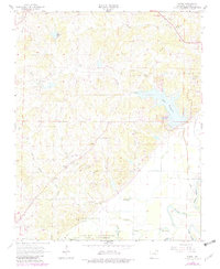
1966 Map of Eaton
USGS Topo · Published 1982About this map
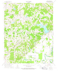
The Black River defines the southeastern corner of this Lawrence County landscape, winding through a complex system of lowlands and sloughs. Central to the area is the expansion of Lake Charles and the surrounding Lake Charles State Park, which serves as a major geographical anchor. The map reveals a rural community supported by a network of local churches and burial grounds, including the New Hope Ch and Cedar Grove Ch, alongside family-named sites like the McNutt Cem and Lawson Cem.
Find a feature on this map
37 named features on this map. Tap any name to fly to it.
Don’t see what you’re looking for? This feature index may not catch every label — zoom into the map to look around manually.
Map Details
Editions of this 1966 Eaton Map
2 editions found
Other maps of this area

1932 · Strawberry
USGS Topo · 1:62,500

1934 · Powhatan
USGS Topo · 1:62,500

1935 · Powhatan
USGS Topo · 1:62,500

1935 · Alicia
USGS Topo · 1:62,500

1935 · Strawberry
USGS Topo · 1:62,500

1941 · Strawberry
USGS Topo · 1:62,500

1953 · Memphis
USGS Topo · 1:250,000

1955 · Strawberry
USGS Topo · 1:24,000

1956 · Memphis
USGS Topo · 1:250,000

1957 · Poplar Bluff
USGS Topo · 1:250,000