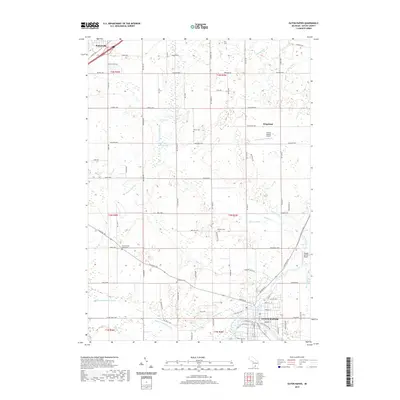
2019 Map of Eaton Rapids
USGS Topo · Published 2019About this map
The Grand River and Spring Brook converge at Eaton Rapids, a regional hub defined by its intricate network of drainage canals and agricultural heritage. This modern survey reflects a landscape shaped by a century of water management, evidenced by numerous named channels like the Benton-Drain, Odell Drain, and Mills and Prichard Drain. These systems supported the expansion of farming across the townships of Eaton Rapids and Brookfield.
Find a feature on this map
107 named features on this map. Tap any name to fly to it.
Don’t see what you’re looking for? This feature index may not catch every label — zoom into the map to look around manually.
Map Details
Editions of this 2019 Eaton Rapids Map
This is the sole edition of this map. No revisions or reprints were ever made.
Other maps of this area

1910 · Lansing
USGS Topo · 1:62,500

1912 · Lansing
USGS Topo · 1:62,500

1919 · Springport
USGS Topo · 1:62,500

1921 · Springport
USGS Topo · 1:62,500

1921 · Marshall
USGS Topo · 1:62,500

1923 · Marshall
USGS Topo · 1:62,500

1943 · Marshall
USGS Topo · 1:62,500

1949 · Charlotte
USGS Topo · 1:62,500

1958 · Grand Rapids
USGS Topo · 1:250,000

1961 · Grand Rapids
USGS Topo · 1:250,000