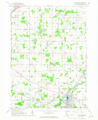
1965 Map of Eaton Rapids
USGS Topo · Published 1967About this map
Eaton Rapids serves as the focal point of this mid-1960s survey, situated at the convergence of Spring Brook and the Grand River. The landscape is defined by an extensive drainage network, including the Thornapple River and numerous family-named channels like Burkhead Drain and Bodell Drain, reflecting the area's agricultural development. The transition from active rail to automotive transport is evident in the presence of the New York Central line alongside the Old Railroad Grade near Kingsland. Local heritage is preserved in several small burial grounds such as Brickyard Cem and South Eaton Cem, while the northern portion of the quadrangle shows the early expansion of Potterville along the King Highway.
Find a feature on this map
68 named features on this map. Tap any name to fly to it.
Don’t see what you’re looking for? This feature index may not catch every label — zoom into the map to look around manually.
Map Details
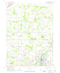
Editions of this 1965 Eaton Rapids Map
2 editions found
Other maps of this area

1910 · Lansing
USGS Topo · 1:62,500

1912 · Lansing
USGS Topo · 1:62,500

1919 · Springport
USGS Topo · 1:62,500

1921 · Springport
USGS Topo · 1:62,500

1921 · Marshall
USGS Topo · 1:62,500

1923 · Marshall
USGS Topo · 1:62,500

1943 · Marshall
USGS Topo · 1:62,500

1949 · Charlotte
USGS Topo · 1:62,500

1958 · Grand Rapids
USGS Topo · 1:250,000

1961 · Grand Rapids
USGS Topo · 1:250,000