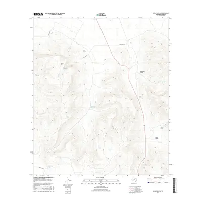
2016 Map of Echo Canyon
USGS Topo · Published 2016About this map
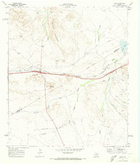
Encantada Peak and Round Mtn dominate this high-desert landscape in Jeff Davis County, where water sources dictate the placement of ranch infrastructure. Vital water points like Ash Spring and Hawthicket Spring are mapped alongside numerous cattle tanks, including Middle Rock House Tank, Deer Tank, and Yellow Tank, which supported the livestock operations of the early 21st century. The network of corridors through the high country is defined by features such as Echo Canyon and Hawthicket Canyon. Access into this isolated terrain is maintained via private ranching tracks like Long X Ranch Rd and Bar C Ranch Rd, showing a land use pattern focused on large-scale grazing and resource management in the Texas Trans-Pecos region.
Find a feature on this map
19 named features on this map. Tap any name to fly to it.
Don’t see what you’re looking for? This feature index may not catch every label — zoom into the map to look around manually.
Map Details
Editions of this 2016 Echo Canyon Map
This is the sole edition of this map. No revisions or reprints were ever made.
Other maps of this area
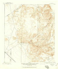
1894 · Valentine
USGS Topo · 1:125,000
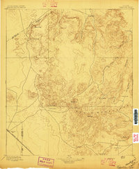
1897 · Valentine
USGS Topo · 1:125,000
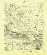
1928 · Kent
USGS Topo · 1:125,000
1943 · Valentine
USGS Topo · 1:125,000

1954 · Van Horn
USGS Topo · 1:250,000

1958 · Van Horn
USGS Topo · 1:250,000
1959 · Marfa
USGS Topo · 1:250,000
1965 · Marfa
USGS Topo · 1:250,000
1970 · Gomez Peak
USGS Topo · 1:24,000
1970 · Kent
USGS Topo · 1:24,000