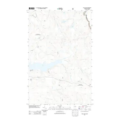
2013 Map of Echo Lake
USGS Topo · Published 2013About this map
Superior National Forest dominates this northern wilderness landscape along the international boundary between St. Louis County, Minnesota and Ontario. The hydrology of the region is defined by the Echo Lake basin, which is fed and drained by a complex network of waterways including the Echo River, Hunting Shack River, and Camp Ninety Seven Cr. These water routes, along with smaller bodies like Knute Lake and Herriman Lake, illustrate the glacially carved terrain of the North Woods before it crosses into Canada.
Find a feature on this map
20 named features on this map. Tap any name to fly to it.
Don’t see what you’re looking for? This feature index may not catch every label — zoom into the map to look around manually.
Map Details
Editions of this 2013 Echo Lake Map
This is the sole edition of this map. No revisions or reprints were ever made.
Other maps of this area

1954 · International Falls
USGS Topo · 1:250,000

1957 · International Falls
USGS Topo · 1:250,000

1958 · International Falls
USGS Topo · 1:250,000
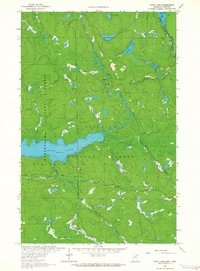
1963 · Echo Lake
USGS Topo · 1:24,000
1963 · Snow Bay
USGS Topo · 1:24,000
1963 · Astrid Lake
USGS Topo · 1:24,000
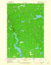
1963 · Picket Lake
USGS Topo · 1:24,000
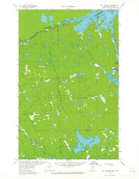
1963 · Lake Jeanette
USGS Topo · 1:24,000
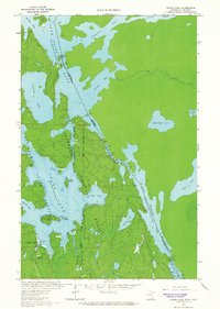
1963 · Crane Lake
USGS Topo · 1:24,000
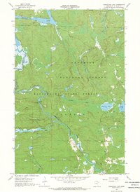
1967 · Kabustasa Lake
USGS Topo · 1:24,000