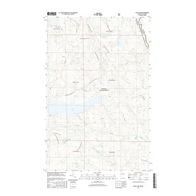
2016 Map of Echo Lake
USGS Topo · Published 2016About this map
Superior National Forest dominates this northern landscape, where the international boundary between Minnesota and Canada follows the winding course of the Loon River. The terrain is defined by a dense network of waterways and recreational corridors, centered around the large expanse of Echo Lake and the rushing waters of Vermilion Falls. This 2016 survey illustrates how the forest is managed for multi-use access, showing numerous trails such as the Voyageur Snowmobile Trail and specialized forest loops like the Echo Hunter Perimeter Loop.
Find a feature on this map
32 named features on this map. Tap any name to fly to it.
Don’t see what you’re looking for? This feature index may not catch every label — zoom into the map to look around manually.
Map Details
Editions of this 2016 Echo Lake Map
This is the sole edition of this map. No revisions or reprints were ever made.
Other maps of this area

1954 · International Falls
USGS Topo · 1:250,000

1957 · International Falls
USGS Topo · 1:250,000

1958 · International Falls
USGS Topo · 1:250,000
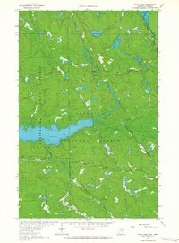
1963 · Echo Lake
USGS Topo · 1:24,000
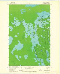
1963 · Snow Bay
USGS Topo · 1:24,000
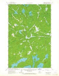
1963 · Astrid Lake
USGS Topo · 1:24,000
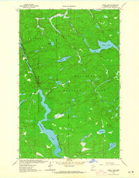
1963 · Picket Lake
USGS Topo · 1:24,000
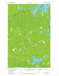
1963 · Lake Jeanette
USGS Topo · 1:24,000
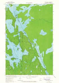
1963 · Crane Lake
USGS Topo · 1:24,000
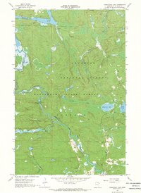
1967 · Kabustasa Lake
USGS Topo · 1:24,000