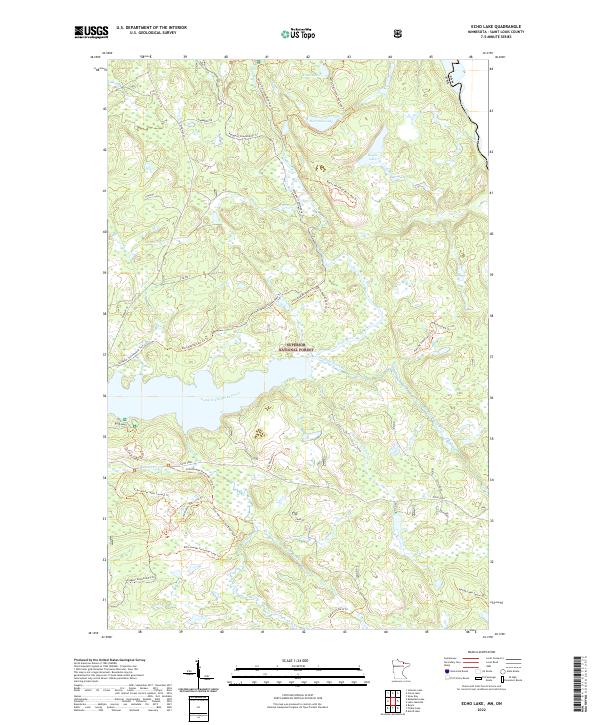
2022 Map of Echo Lake
USGS Topo · Published 2022About this map
Superior National Forest encompasses this stretch of the northern Minnesota borderlands, where the landscape is defined by an intricate network of waterways and recreational trails. The namesake Echo River and its tributaries, including Hunting Shack River and Camp Ninty Seven Creek, navigate a terrain dotted with several named lakes such as Knute Lake, Herriman Lake, and Baylis Lake. Evidence of localized logging and forest management history appears at Camp 97, while modern access is provided by the prominent Echo Trail and Highway 24.
Find a feature on this map
41 named features on this map. Tap any name to fly to it.
Don’t see what you’re looking for? This feature index may not catch every label — zoom into the map to look around manually.
Map Details
Editions of this 2022 Echo Lake Map
This is the sole edition of this map. No revisions or reprints were ever made.
Other maps of this area

1954 · International Falls
USGS Topo · 1:250,000

1957 · International Falls
USGS Topo · 1:250,000

1958 · International Falls
USGS Topo · 1:250,000

1963 · Echo Lake
USGS Topo · 1:24,000

1963 · Snow Bay
USGS Topo · 1:24,000

1963 · Astrid Lake
USGS Topo · 1:24,000

1963 · Picket Lake
USGS Topo · 1:24,000

1963 · Lake Jeanette
USGS Topo · 1:24,000

1963 · Crane Lake
USGS Topo · 1:24,000

1967 · Kabustasa Lake
USGS Topo · 1:24,000