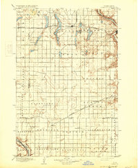
1897 Map of Eckelson
USGS Topo · Published 1931About this map
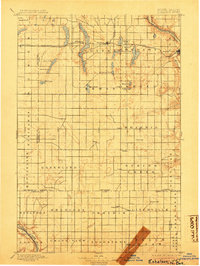
Valley City sits along the Sheienne River in this survey of the late nineteenth-century North Dakota prairie. The landscape is defined by the Northern Pacific R. R. and the Pacific R. R., which drove the establishment of numerous small rail towns like Eckelson, Sanborn, and Hastings. The area is characterized by an extensive network of natural water bodies, including the elongated Eckelson Lakes and Hobart Lake, which punctuate the agricultural townships. These settlements emerged as vital shipping points for grain and livestock as the region transitioned into a productive farming hub. The map captures the early political organization of the territory, showing the boundary lines between Barnes, Stutsman, LaMoure, and Ransom counties before many of the local roads were established, relying instead on the iron rails for connectivity.
Find a feature on this map
50 named features on this map. Tap any name to fly to it.
Don’t see what you’re looking for? This feature index may not catch every label — zoom into the map to look around manually.
Map Details
Editions of this 1897 Eckelson Map
3 editions found
Other maps of this area

1894 · La Moure
USGS Topo · 1:62,500

1895 · Lamoure
USGS Topo · 1:125,000

1896 · Jamestown
USGS Topo · 1:125,000

1896 · Edgeley
USGS Topo · 1:125,000

1897 · Tower
USGS Topo · 1:125,000

1897 · Eckelson
USGS Topo · 1:125,000

1900 · Pingree
USGS Topo · 1:125,000

1918 · La Moure
USGS Topo · 1:125,000

1925 · Edgeley
USGS Topo · 1:125,000

1951 · Spiritwood Lake
USGS Topo · 1:24,000