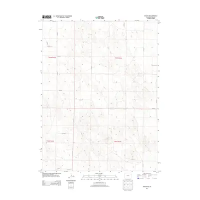
2013 Map of Eckley NE
USGS Topo · Published 2013About this map
The agricultural plains of northeast Yuma County are defined by a strict geometric grid of county roads and section lines in this 2013 survey. The landscape is dominated by the Public Land Survey System divisions of t003n r045w, t003n r044w, t002n r045w, and t002n r044w, illustrating the systematic land parceling of the High Plains. Transportation across this rural expanse relies on an extensive network of secondary routes, including north-south corridors like Co Road AA, Co Road BB, and Co Road FF. These thoroughfares connect isolated farmsteads and rangelands, with east-west travel facilitated by roads such as Co Road 42 and Co Road 45. The map provides a precise look at the modern land use and road infrastructure in a sparsely populated region near the Nebraska border, where the terrain is marked by subtle elevation changes and local drainage patterns.
Find a feature on this map
19 named features on this map. Tap any name to fly to it.
Don’t see what you’re looking for? This feature index may not catch every label — zoom into the map to look around manually.
Map Details
Editions of this 2013 Eckley NE Map
This is the sole edition of this map. No revisions or reprints were ever made.
Other maps of this area
1954 · Sterling
USGS Topo · 1:250,000
1958 · Sterling
USGS Topo · 1:250,000
1961 · Eckley
USGS Topo · 1:24,000
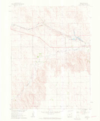
1961 · Robb
USGS Topo · 1:24,000
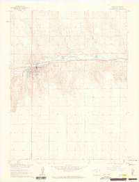
1961 · Wray
USGS Topo · 1:24,000
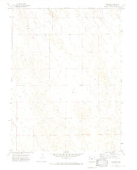
1971 · Alvin SW
USGS Topo · 1:24,000
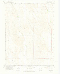
1971 · Wauneta
USGS Topo · 1:24,000
1971 · Eckley NE
USGS Topo · 1:24,000
1971 · Wray NW
USGS Topo · 1:24,000
1971 · Old Baldy
USGS Topo · 1:24,000