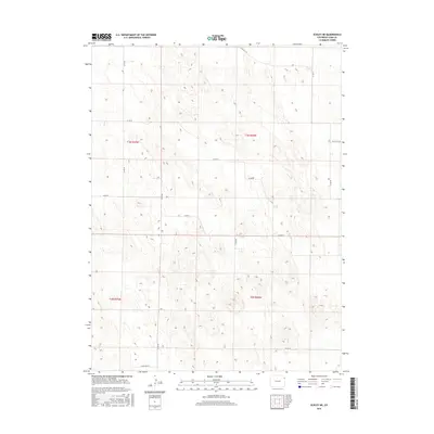
2016 Map of Eckley NE
USGS Topo · Published 2016About this map
High plains topography and a rigid section-line grid define this portion of Yuma County during the mid-2010s. The landscape is dominated by the organized geometry of the Public Land Survey System, specifically townships t3n r45w, t3n r44w, t2n r45w, and t2n r44w. This area lacks concentrated settlements, instead showing a rural network of county roads that follow the township and range lines. Key transit routes through these grasslands include Co Rd 42, Co Rd Aa, and Co Rd Bb. The subtle elevation changes indicated by the contours suggest the dry, rolling character of the Colorado plains, where land use is dictated by the availability of water and the accessibility of the local road system. For those researching land tracts or local travel in this quadrant, the precise mapping of local connectors like Co Rd 45 and Co Rd Ee provides a clear view of the regional infrastructure.
Find a feature on this map
16 named features on this map. Tap any name to fly to it.
Don’t see what you’re looking for? This feature index may not catch every label — zoom into the map to look around manually.
Map Details
Editions of this 2016 Eckley NE Map
This is the sole edition of this map. No revisions or reprints were ever made.
Other maps of this area
1954 · Sterling
USGS Topo · 1:250,000
1958 · Sterling
USGS Topo · 1:250,000
1961 · Eckley
USGS Topo · 1:24,000
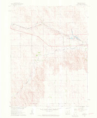
1961 · Robb
USGS Topo · 1:24,000
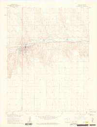
1961 · Wray
USGS Topo · 1:24,000
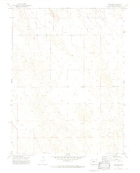
1971 · Alvin SW
USGS Topo · 1:24,000
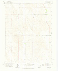
1971 · Wauneta
USGS Topo · 1:24,000
1971 · Eckley NE
USGS Topo · 1:24,000
1971 · Wray NW
USGS Topo · 1:24,000
1971 · Old Baldy
USGS Topo · 1:24,000