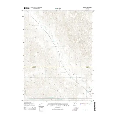
2014 Map of Eddyville SW
USGS Topo · Published 2014About this map
Wood River meanders southeast across this portion of the Nebraska loess hills, following a path mirrored by Ne-40. The landscape is defined by the agricultural water management of the early twenty-first century, specifically the series of reservoirs maintained by the Dawson County infrastructure. These include Dawson Company Road Dam Reservoir Number 6 and Dawson Company Road Dam Reservoir Number 7, which sit alongside Road 771 near the southern boundary. The small settlement of Eddyville occupies the southeastern corner of the map at the junction of state highways, where Ne-21 meets the river valley. The grid of section-line roads, such as Road 774 and Road 435, highlights the precise township-and-range surveying that continues to govern the rural geography between the Custer and Dawson county lines.
Find a feature on this map
23 named features on this map. Tap any name to fly to it.
Don’t see what you’re looking for? This feature index may not catch every label — zoom into the map to look around manually.
Map Details
Editions of this 2014 Eddyville SW Map
This is the sole edition of this map. No revisions or reprints were ever made.
Other maps of this area
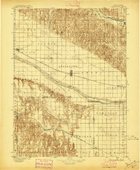
1896 · Lexington
USGS Topo · 1:125,000
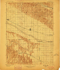
1899 · Lexington
USGS Topo · 1:125,000
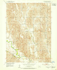
1951 · Eddyville NE
USGS Topo · 1:24,000
1951 · Eddyville NW
USGS Topo · 1:24,000
1951 · Oconto SE
USGS Topo · 1:24,000
1951 · Eddyville
USGS Topo · 1:24,000
1951 · Eddyville SW
USGS Topo · 1:24,000
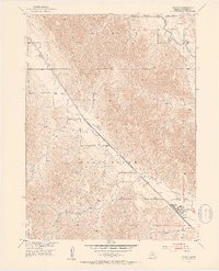
1951 · Oconto
USGS Topo · 1:24,000
1955 · Broken Bow
USGS Topo · 1:250,000
1955 · Grand Island
USGS Topo · 1:250,000