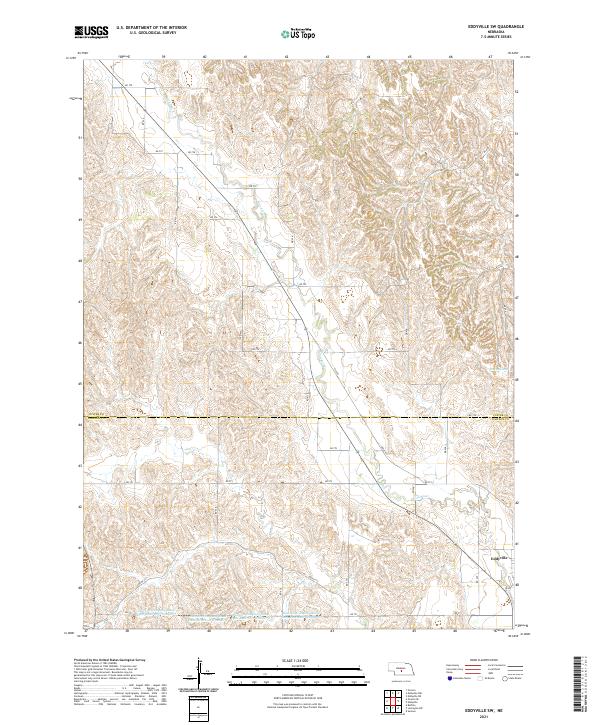
2021 Map of Eddyville SW
USGS Topo · Published 2021About this map
Wood River winds through the dissected plains of central Nebraska, tracing a path across the border between Custer and Dawson Counties. The landscape is defined by its agricultural infrastructure, specifically a sequence of water management features including Dawson Company Road Dam Reservoir Number 3, Number 4, Number 6, and Dawson Company Road Dam Reservoir Number 7. These reservoirs and the surrounding drainage network, including the unusually named Winn Swamp, reflect the intensive land use required for high-plains farming. Near the southeastern corner, the settlement of Eddyville serves as a local anchor, positioned where the section roads converge. This map captures the modern township and range layout of T13N R21W and T12N R20W, illustrating how the grid system of RD 773 and DR 436 interacts with the natural hydrology of the Platte River watershed.
Find a feature on this map
34 named features on this map. Tap any name to fly to it.
Don’t see what you’re looking for? This feature index may not catch every label — zoom into the map to look around manually.
Map Details
Editions of this 2021 Eddyville SW Map
This is the sole edition of this map. No revisions or reprints were ever made.
Other maps of this area

1896 · Lexington
USGS Topo · 1:125,000

1899 · Lexington
USGS Topo · 1:125,000

1951 · Eddyville NE
USGS Topo · 1:24,000

1951 · Eddyville NW
USGS Topo · 1:24,000

1951 · Oconto SE
USGS Topo · 1:24,000

1951 · Eddyville
USGS Topo · 1:24,000

1951 · Eddyville SW
USGS Topo · 1:24,000

1951 · Oconto
USGS Topo · 1:24,000

1955 · Broken Bow
USGS Topo · 1:250,000

1955 · Grand Island
USGS Topo · 1:250,000