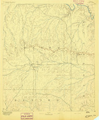
1892 Map of Eden
USGS Topo · Published 1892About this map
Eden serves as the primary settlement in this late nineteenth-century survey, positioned at a vital junction of trails and wagon roads south of the Brady Mountains. This area of central Texas is characterized by a dense network of intermittent drainage, with Brady Creek and South Brady Creek flowing eastward across the plateau. The landscape is punctuated by the significant natural pass at Salt Gap, which provides a navigable route through the rugged limestone hills of the Brady range.
Find a feature on this map
24 named features on this map. Tap any name to fly to it.
Don’t see what you’re looking for? This feature index may not catch every label — zoom into the map to look around manually.
Map Details
Editions of this 1892 Eden Map
This is the sole edition of this map. No revisions or reprints were ever made.
Other maps of this area
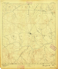
1887 · Mason
USGS Topo · 1:125,000
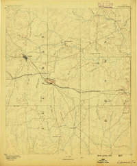
1887 · Coleman
USGS Topo · 1:125,000
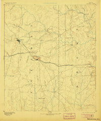
1889 · Coleman
USGS Topo · 1:125,000
1891 · Hayrick
USGS Topo · 1:125,000
1892 · San Angelo
USGS Topo · 1:125,000
1892 · Ballinger
USGS Topo · 1:125,000
1893 · Fort McKavett
USGS Topo · 1:125,000
1894 · Brady
USGS Topo · 1:125,000
1894 · Hayrick
USGS Topo · 1:125,000
1894 · Mason
USGS Topo · 1:125,000