
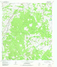
1962 Map of Edgar
USGS Topo · Published 1964About this map
The Southern Pacific railroad corridor anchors the western edge of this DeWitt County landscape, passing through the small community of Edgar. This area of South Texas, surveyed in the early 1960s, reveals a rural economy shaped by ranching and resource extraction. The northern portion of the map is dominated by the South Yoakum Oil Field, while numerous livestock and irrigation sources like Bathing Tank, Kelley Tank, and Windmill Tank are scattered across the terrain.
Find a feature on this map
19 named features on this map. Tap any name to fly to it.
Don’t see what you’re looking for? This feature index may not catch every label — zoom into the map to look around manually.
Map Details
Editions of this 1962 Edgar Map
3 editions found
Other maps of this area

1953 · Seguin
USGS Topo · 1:250,000

1958 · Seguin
USGS Topo · 1:250,000

1959 · Hochheim
USGS Topo · 1:24,000

1960 · Cuero
USGS Topo · 1:24,000

1960 · Concrete
USGS Topo · 1:24,000

1962 · Verhelle
USGS Topo · 1:24,000

1962 · Terryville
USGS Topo · 1:24,000

1963 · Yoakum
USGS Topo · 1:24,000

1963 · Fordtran
USGS Topo · 1:24,000

1963 · Sweet Home
USGS Topo · 1:24,000