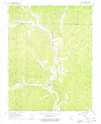
1968 Map of Edgehill
USGS Topo · Published 1977About this map
Middle Fork Black River carves a central path through this section of the Clark National Forest, where the landscape is defined by the convergence of numerous spring-fed branches and creeks. Small river-valley settlements such as Edgehill and Black serve as focal points for the surrounding rural population, established along the narrow fertile bottoms between the peaks of Bell Mountain and Goggins Mountain. The density of family cemeteries throughout the area—including Luebbergen Cem, Troutman Cem, and Shy Cem—suggests a deeply rooted community structure based on multi-generational family homesteads. The terrain is marked by a network of primitive routes, labeled simply as Trail or Jeep Trail, which provided access to remote upland areas like Mack Ridge and Kaolin Mountain for timbering or local travel.
Find a feature on this map
36 named features on this map. Tap any name to fly to it.
Don’t see what you’re looking for? This feature index may not catch every label — zoom into the map to look around manually.
Map Details
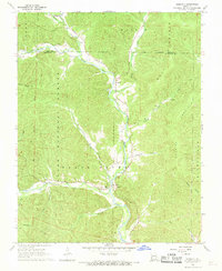
Editions of this 1968 Edgehill Map
2 editions found
Other maps of this area

1924 · Edgehill
USGS Topo · 1:62,500

1926 · Edgehill
USGS Topo · 1:62,500

1943 · Lesterville
USGS Topo · 1:62,500

1943 · Boss
USGS Topo · 1:62,500

1944 · Corridon
USGS Topo · 1:62,500

1946 · Lesterville
USGS Topo · 1:62,500

1946 · Boss
USGS Topo · 1:62,500

1947 · Corridon
USGS Topo · 1:62,500

1949 · Rolla
USGS Topo · 1:250,000

1953 · Rolla
USGS Topo · 1:250,000