Loading...
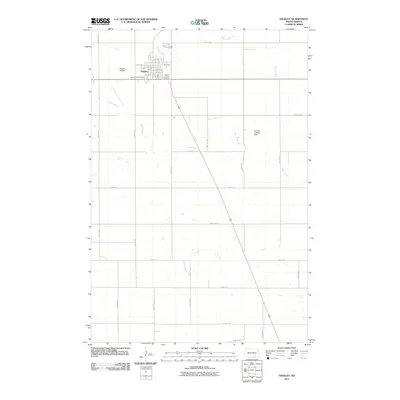
Loading map...1925 Map of Edgeley
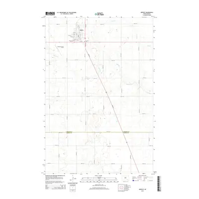
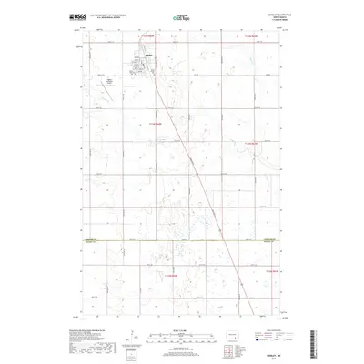
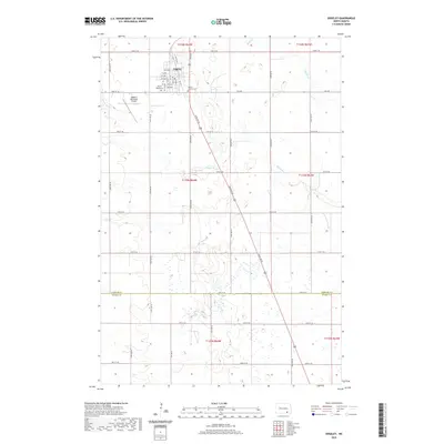
USGS Topo · Published 1949About this map
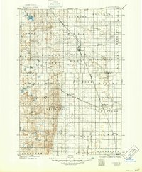
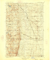
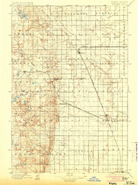
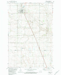
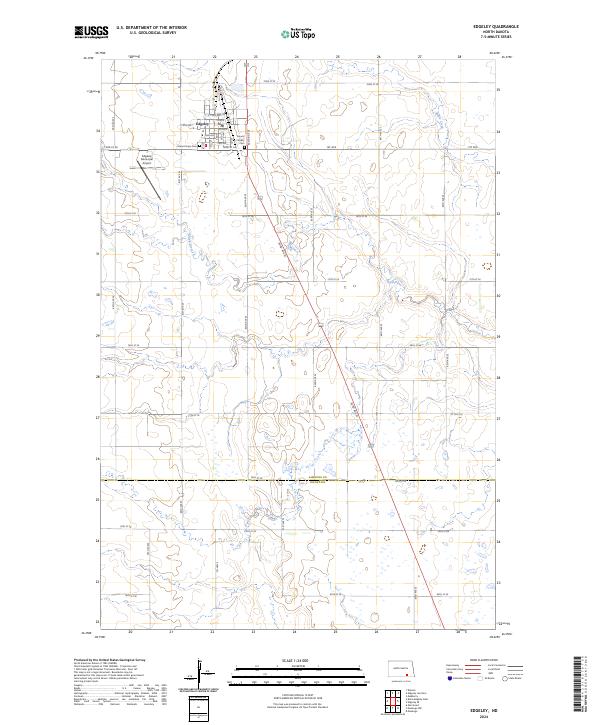
Whitestone Battlefield Park sits as a significant historical landmark in this prairie landscape, reflecting the 1863 conflict between the U.S. Army and the Sioux. The map illustrates a period when the agrarian expansion of La Moure and Dickey Counties was heavily dictated by the path of the iron rail. Four distinct lines, including the Northern Pacific and the Midland Continental, intersect at regional hubs like Edgeley, Kulm, and Ellendale.
Find a feature on this map
53 named features on this map. Tap any name to fly to it.
Don’t see what you’re looking for? This feature index may not catch every label — zoom into the map to look around manually.
Map Details
Date Portrayed1925
Date Published1949
PublisherU.S. Geological Survey
Map TypeTopographic
Scale1:125,000
Physical Dimensions16.99 x 20.65 inches
Editions of this 1925 Edgeley Map
2 editions found
Historical Maps of Ellendale Through Time
8 maps found
Featured Locations
Source Details
SourceU.S. Geological Survey
CopyrightPublic Domain