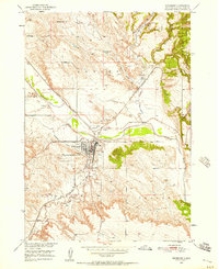
1950 Map of Edgemont
USGS Topo · Published 1957About this map
Edgemont serves as a critical rail and river hub in Fall River County on this mid-century survey, where the Chicago Burlington and Quincy railroad intersects the winding Cheyenne River. The landscape reveals a transition from industrial activity to ranching, with numerous Gravel Pits and a Quarry dotting the hillsides near Dudley and Bell Ranch. To the east, the Black Hills National Forest boundary marks a shift into more complex terrain featuring Stone Quarry Canyon and Sheep Canyon.
Find a feature on this map
29 named features on this map. Tap any name to fly to it.
Don’t see what you’re looking for? This feature index may not catch every label — zoom into the map to look around manually.
Map Details
Editions of this 1950 Edgemont Map
4 editions found
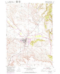
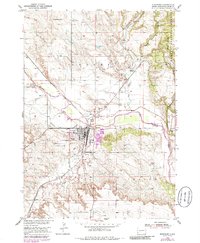
Other maps of this area

1902 · Edgemont
USGS Topo · 1:125,000

1950 · Edgemont
USGS Topo · 1:24,000

1950 · Edgemont SW
USGS Topo · 1:24,000

1950 · Rumford
USGS Topo · 1:24,000

1950 · Burdock
USGS Topo · 1:24,000

1950 · Edgemont NE
USGS Topo · 1:24,000

1950 · Minnekahta
USGS Topo · 1:24,000

1950 · Flint Hill
USGS Topo · 1:24,000

1955 · Hot Springs
USGS Topo · 1:250,000
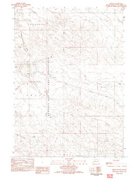
1982 · Provo
USGS Topo · 1:25,000