
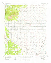
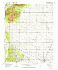
1956 Map of Edgewood
USGS Topo · Published 1957About this map
San Pedro Mtn and South Mountain dominate the western horizon of this mid-century New Mexico landscape, where high-desert cattle ranching and early aviation define the topography. The map documents an era when family holdings like Bassett Ranch, Irby Ranch, and Palo Amarillo Ranch were the primary landmarks across the San Pedro Mountains. Near the southeastern edge, the growing community of Moriarty sits at a transportation crossroads, while the Otto Airfield and its associated Beacon to the north highlight the region's importance to territorial navigation.
Find a feature on this map
63 named features on this map. Tap any name to fly to it.
Don’t see what you’re looking for? This feature index may not catch every label — zoom into the map to look around manually.
Map Details
Editions of this 1956 Edgewood Map
3 editions found
Other maps of this area

1892 · San Pedro
USGS Topo · 1:125,000

1894 · Lamy
USGS Topo · 1:125,000

1917 · Estancia
USGS Topo · 1:125,000

1954 · Chilili
USGS Topo · 1:24,000

1954 · Sandia Park
USGS Topo · 1:24,000

1954 · San Pedro
USGS Topo · 1:24,000

1954 · Sedillo
USGS Topo · 1:24,000

1954 · Hagan
USGS Topo · 1:24,000

1954 · Escabosa
USGS Topo · 1:24,000

1954 · Edgewood
USGS Topo · 1:24,000