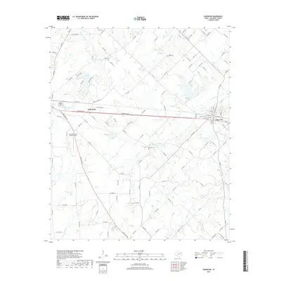
2019 Map of Edgewood
USGS Topo · Published 2019About this map
Wills Point and Edgewood anchor this Van Zandt County landscape, which is defined by a dense network of country roads and small watercourses. The terrain is notably etched by numerous branches and creeks, including Wills Cr, Cedar Cr, and the winding Giladon Cr. This 2019 survey documents a rural Texas environment where small-scale water management is evident in features like T P Lake, Fins and Feathers Club Lake, and Old City Lake.
Find a feature on this map
122 named features on this map. Tap any name to fly to it.
Don’t see what you’re looking for? This feature index may not catch every label — zoom into the map to look around manually.
Map Details
Editions of this 2019 Edgewood Map
This is the sole edition of this map. No revisions or reprints were ever made.
Other maps of this area

1954 · Dallas
USGS Topo · 1:250,000

1956 · Tyler
USGS Topo · 1:250,000
1956 · Quinlan
USGS Topo · 1:62,500
1956 · Emory
USGS Topo · 1:62,500

1958 · Dallas
USGS Topo · 1:250,000
1962 · Myrtle Springs
USGS Topo · 1:24,000
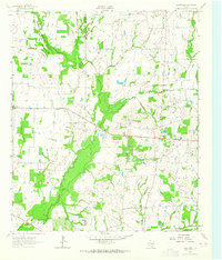
1962 · Cedarvale
USGS Topo · 1:24,000
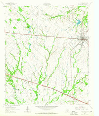
1962 · Wills Point
USGS Topo · 1:24,000
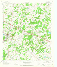
1962 · Canton
USGS Topo · 1:24,000
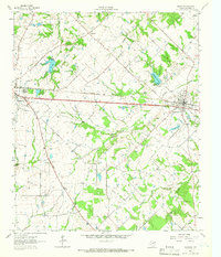
1962 · Edgewood
USGS Topo · 1:24,000