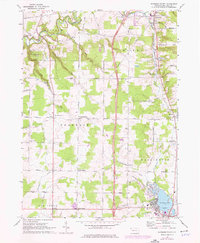
1967 Map of Edinboro North
USGS Topo · Published 1976About this map
Edinboro Lake and its northern shoreline anchor the southern edge of this Erie County landscape, where the town of Edinboro begins to expand toward the surrounding agricultural plateaus. The 1967 survey, with updates from 1975, reveals a network of rural crossroads including Franklin Center, Mishler Corners, and Eureka Corners. The terrain is deeply incised by the drainage of Elk Creek and its many tributaries, such as Falk Run and Goodban Run, which create the elevation changes at Howard Falls. The map documents a period of significant transition in transportation as Interstate 79 carves through the central portion of the quadrangle, including Interchange 166 and Interchange 174. These modern transit routes exist alongside older landmarks like the Porter Cem and the Franklin Center Airport, illustrating the evolution from a remote farming region to a more accessible corridor between the lake and the interior.
Find a feature on this map
62 named features on this map. Tap any name to fly to it.
Don’t see what you’re looking for? This feature index may not catch every label — zoom into the map to look around manually.
Map Details
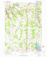
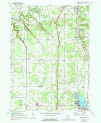
Editions of this 1967 Edinboro North Map
3 editions found
Other maps of this area

1899 · Erie
USGS Topo · 1:62,500

1900 · Girard
USGS Topo · 1:62,500

1900 · Erie
USGS Topo · 1:62,500

1900 · Fairview
USGS Topo · 1:62,500

1923 · Cambridge Springs
USGS Topo · 1:62,500

1925 · Cambridge Springs
USGS Topo · 1:62,500

1943 · Cambridge Springs
USGS Topo · 1:62,500

1950 · Cleveland
USGS Topo · 1:250,000

1950 · Erie
USGS Topo · 1:250,000

1956 · Cleveland
USGS Topo · 1:250,000