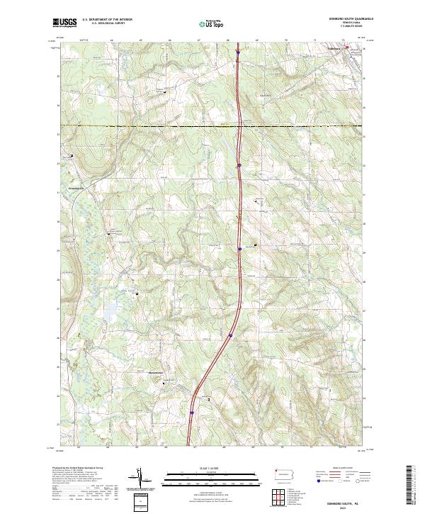
2023 Map of Edinboro South
USGS Topo · Published 2023About this map
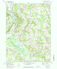
Edinboro stands at the northern edge of this landscape, anchored by the sprawling campus of Edinboro University of Pennsylvania near the banks of Conneauttee Creek. The area is defined by its rural cemetery network, which serves as a vital record for local genealogy, including Saints Peter and Paul Orthodox Cem and the Carmel - Freeman Cem. These sites, along with smaller family or community burial grounds like Sherrod Hill Cem and Lewis Cem, are scattered across the high ground between the drainage basins of Cussewago Creek and Wolf Run. Small rural clusters at Crossingville and Mosiertown remain connected by a dense grid of township roads such as Irish Rd and Skeltontown Rd, illustrating the persistent agricultural and residential patterns of southern Erie and northern Crawford counties. The terrain rises to its highest point at Gibson Hill, overlooking the various runs that feed into the region's larger creek systems.
Find a feature on this map
72 named features on this map. Tap any name to fly to it.
Don’t see what you’re looking for? This feature index may not catch every label — zoom into the map to look around manually.
Map Details
Editions of this 2023 Edinboro South Map
This is the sole edition of this map. No revisions or reprints were ever made.
Historical Maps of Venango Township Through Time
14 maps found
1959 Beaver Center
Crawford County, PA
1967 Centerville
Crawford County, PA
1967 Lake Canadohta
Crawford County, PA
1967 Millers Station
Crawford County, PA
1967 Sugar Lake
Crawford County, PA
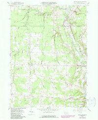
1968 Edinboro South
Crawford County, PA
1968 Titusville North
Crawford County, PA
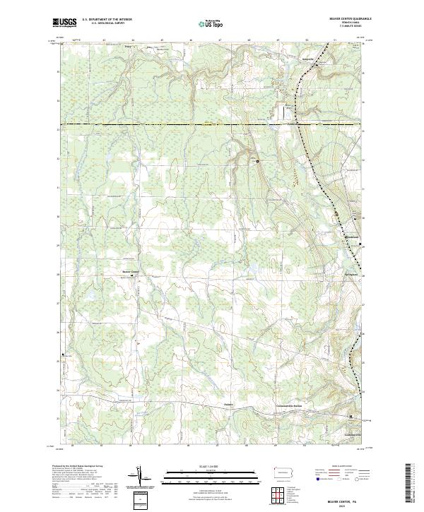
2023 Beaver Center
Crawford County, PA
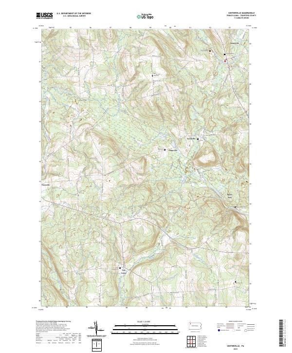
2023 Centerville
Crawford County, PA
2023 Edinboro South
Crawford County, PA
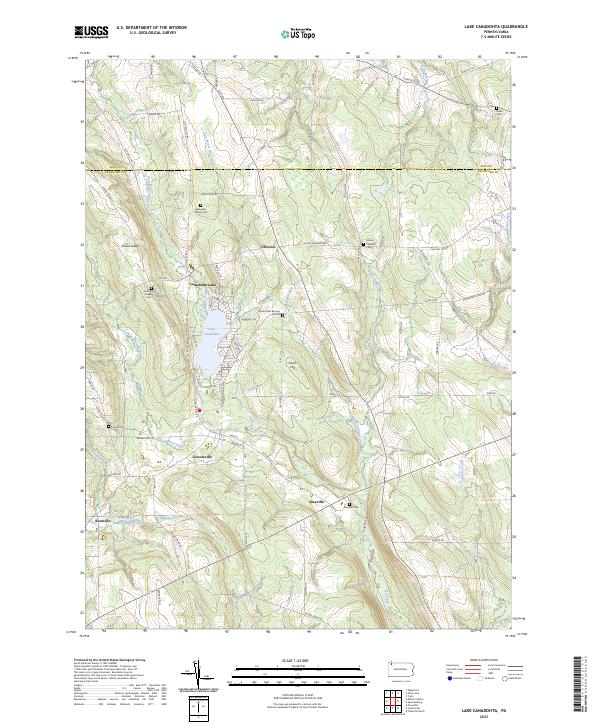
2023 Lake Canadohta
Crawford County, PA
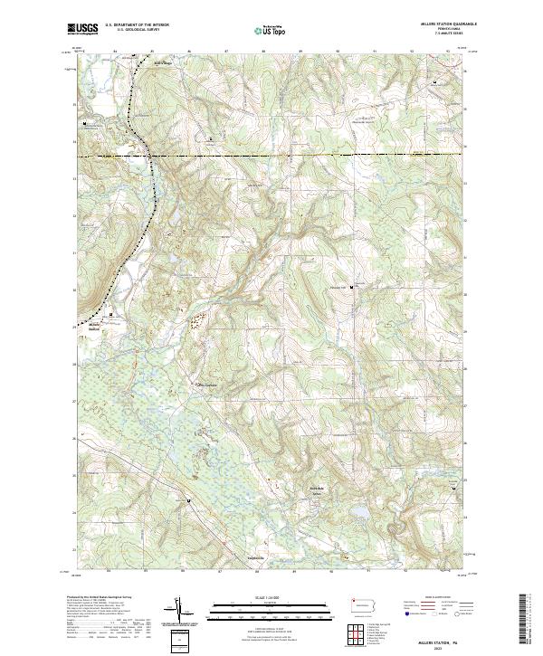
2023 Millers Station
Crawford County, PA
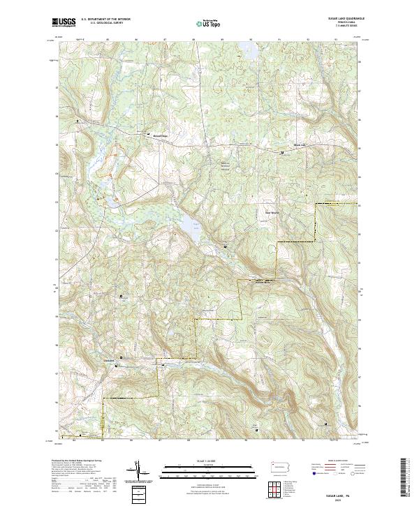
2023 Sugar Lake
Crawford County, PA
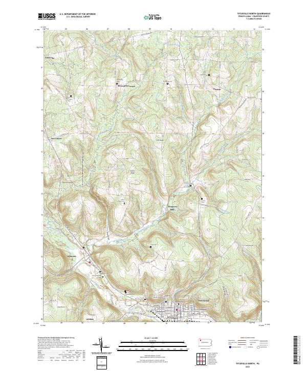
2023 Titusville North
Crawford County, PA