Loading...
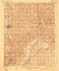
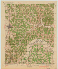
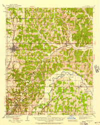
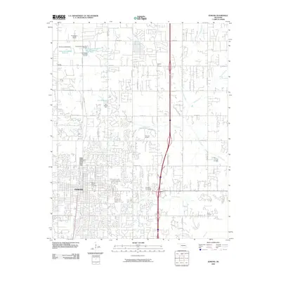
Loading map...1940 Map of Edmond
USGS Topo · Published 1940About this map
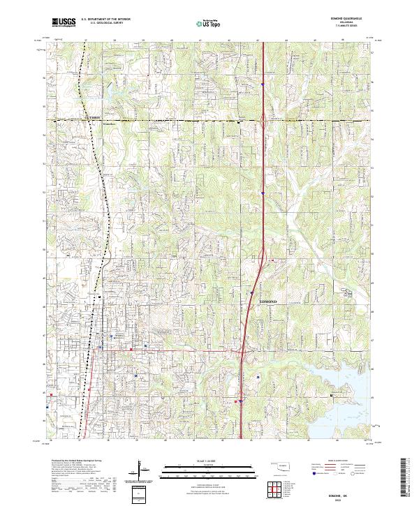
The North Canadian River meanders across the southern portion of this landscape, defining the topography between Spencer and Jones during the mid-1930s. The settlement at Edmond serves as a primary hub, anchored by the Atchison Topeka and Santa Fe railroad line. This era captures a dense network of rural infrastructure, where nearly every section is served by its own schoolhouse, including Douglas Sch, Sunnyside Sch, and Pleasant Hill Sch.
Find a feature on this map
57 named features on this map. Tap any name to fly to it.
Don’t see what you’re looking for? This feature index may not catch every label — zoom into the map to look around manually.
Map Details
Date Portrayed1940
Date Published1940
PublisherU.S. Geological Survey
Map TypeTopographic
Scale1:62,500
Physical Dimensions16.5 x 19.7 inches
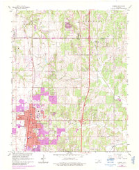
Editions of this 1940 Edmond Map
2 editions found
Historical Maps of Oklahoma City Through Time
9 maps found

Featured Locations
Source Details
SourceU.S. Geological Survey
CopyrightPublic Domain