
2016 Map of Edwards Branch
USGS Topo · Published 2016About this map
Hubbard Cr Reservoir dominates the landscape where the borders of Shackelford and Stephens counties meet. The water levels of this mid-2010s survey reveal The Island and a complex shoreline of inlets fed by numerous tributaries, including McDowell Cr, Negro Cr, and Edwards Br. This hydrography suggests a managed water system typical of the region's ranching and municipal needs, further evidenced by Green Reservoir Number 1 and its counterpart to the south.
Find a feature on this map
36 named features on this map. Tap any name to fly to it.
Don’t see what you’re looking for? This feature index may not catch every label — zoom into the map to look around manually.
Map Details
Editions of this 2016 Edwards Branch Map
This is the sole edition of this map. No revisions or reprints were ever made.
Other maps of this area
1890 · Breckenridge
USGS Topo · 1:125,000
1892 · Albany
USGS Topo · 1:125,000
1893 · Albany
USGS Topo · 1:125,000
1954 · Abilene
USGS Topo · 1:250,000
1958 · Abilene
USGS Topo · 1:250,000
1958 · Breckenridge
USGS Topo · 1:24,000
1958 · Edwards Branch
USGS Topo · 1:24,000
1961 · Buck Mountain
USGS Topo · 1:24,000
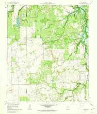
1961 · Eolian
USGS Topo · 1:24,000
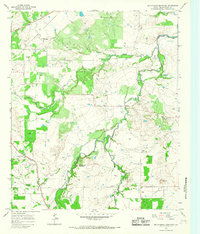
1965 · McCatherine Mountain
USGS Topo · 1:24,000