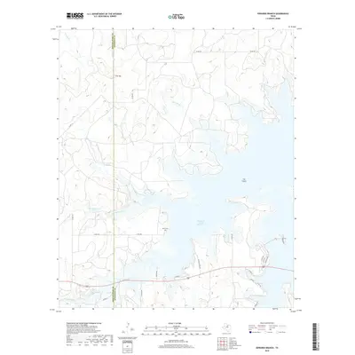
2019 Map of Edwards Branch
USGS Topo · Published 2019About this map
Hubbard Creek Reservoir dominates the eastern landscape of this West Texas terrain, where the waters surround a prominent landform known as The Island. The county line between Shackelford and Stephens counties runs vertically through the center of the sheet, dividing a region defined by complex drainage networks and small-scale water management. North of the larger reservoir, the Edwards Branch and McDowell Creek feed into the basin, while to the west, Green Reservoir Number 1 and Green Reservoir Number 2 indicate localized ranching or agricultural water storage. Near the northern boundary, the settlement of Flat-Top sits along the county line, providing a point of interest for local historians. For genealogists, the presence of Baker Cem near the reservoir's western edge offers a specific site for tracing family roots in this rural area of the Cross Timbers region.
Find a feature on this map
36 named features on this map. Tap any name to fly to it.
Don’t see what you’re looking for? This feature index may not catch every label — zoom into the map to look around manually.
Map Details
Editions of this 2019 Edwards Branch Map
This is the sole edition of this map. No revisions or reprints were ever made.
Other maps of this area
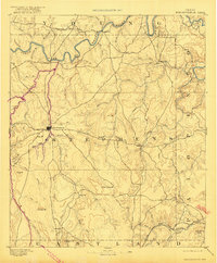
1890 · Breckenridge
USGS Topo · 1:125,000
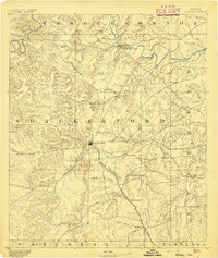
1892 · Albany
USGS Topo · 1:125,000
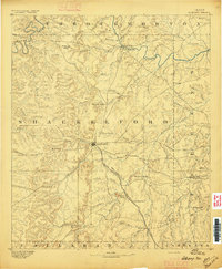
1893 · Albany
USGS Topo · 1:125,000
1954 · Abilene
USGS Topo · 1:250,000
1958 · Abilene
USGS Topo · 1:250,000
1958 · Breckenridge
USGS Topo · 1:24,000
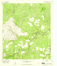
1958 · Edwards Branch
USGS Topo · 1:24,000
1961 · Buck Mountain
USGS Topo · 1:24,000
1961 · Eolian
USGS Topo · 1:24,000
1965 · McCatherine Mountain
USGS Topo · 1:24,000