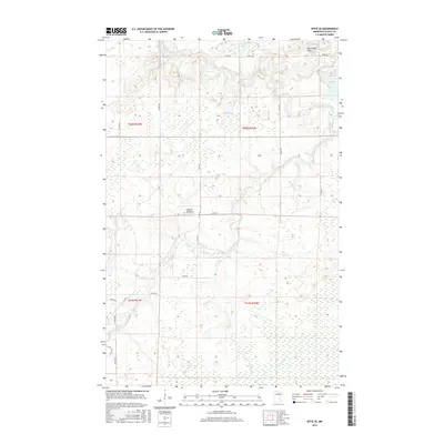
2016 Map of Effie SE
USGS Topo · Published 2016About this map
The Big Fork River winds through this section of Itasca County, defining a landscape of dense wetlands and isolated highlands. The river’s course is marked by the Muldoon Rapids and Rice Rapids, indicating the fluctuating elevation and water flow characteristic of this northern Minnesota region. Much of the terrain is dominated by water and marshland, featuring prominent bodies such as Grass Lake, Round Lake, and Busties Lake, while the Harrington Hills provide the area's primary relief.
Find a feature on this map
31 named features on this map. Tap any name to fly to it.
Don’t see what you’re looking for? This feature index may not catch every label — zoom into the map to look around manually.
Map Details
Editions of this 2016 Effie SE Map
This is the sole edition of this map. No revisions or reprints were ever made.
Other maps of this area
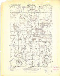
1919 · Release
USGS Topo · 1:62,500
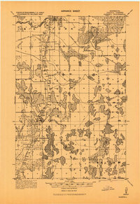
1919 · Marcell
USGS Topo · 1:62,500
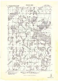
1943 · Release
USGS Topo · 1:62,500
1954 · Hibbing
USGS Topo · 1:250,000
1957 · Hibbing
USGS Topo · 1:250,000
1958 · Hibbing
USGS Topo · 1:250,000
1964 · Hibbing
USGS Topo · 1:250,000
1970 · Coon Lake
USGS Topo · 1:24,000
1970 · Anderson Lake
USGS Topo · 1:24,000
1970 · Deer Lake NW
USGS Topo · 1:24,000