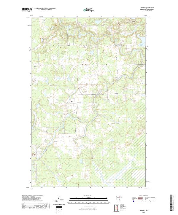
2022 Map of Effie SE
USGS Topo · Published 2022About this map
Big Fork River dominates this northern Minnesota landscape, winding through a complex network of wetlands and creeks southeast of Effie. The river's course is punctuated by Muldoon Rapids in the north and Rice Rapids to the southwest, indicating the subtle elevation shifts that characterize this timber and water-rich region. A significant historical landmark is the Fredheim Norwegian Church Cem, located along Co RD 288, which stands as a quiet marker of the Scandinavian heritage of early settlers in Itasca County.
Find a feature on this map
33 named features on this map. Tap any name to fly to it.
Don’t see what you’re looking for? This feature index may not catch every label — zoom into the map to look around manually.
Map Details
Editions of this 2022 Effie SE Map
This is the sole edition of this map. No revisions or reprints were ever made.
Other maps of this area

1919 · Release
USGS Topo · 1:62,500

1919 · Marcell
USGS Topo · 1:62,500

1943 · Release
USGS Topo · 1:62,500

1954 · Hibbing
USGS Topo · 1:250,000

1957 · Hibbing
USGS Topo · 1:250,000

1958 · Hibbing
USGS Topo · 1:250,000

1964 · Hibbing
USGS Topo · 1:250,000

1970 · Coon Lake
USGS Topo · 1:24,000
1970 · Anderson Lake
USGS Topo · 1:24,000
1970 · Deer Lake NW
USGS Topo · 1:24,000