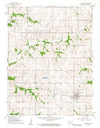
1961 Map of Effingham
USGS Topo · Published 1962About this map
Effingham serves as the primary hub in this 1960s portrait of Atchison County, situated at the junction of several rural townships. The landscape is defined by the winding course of Grasshopper Creek and its tributaries, which create a distinctive dendritic pattern across the townships of Grasshopper, Lancaster, Benton, and Kapioma. The Missouri Pacific railroad cuts a straight line through the southern half of the map, supporting the local agricultural economy and providing a direct link for the Gravel Pit and grain transport. Local history is deeply embedded in the rural landscape, marked by a network of country schools and burial grounds. Educational centers like Brush Creek Sch and Sunny Grove Sch are spaced to serve the surrounding farmsteads, while the Forest Grove Cem and Perry Cem offer points of reference for genealogical research into the families who settled this part of the Kansas plains.
Find a feature on this map
19 named features on this map. Tap any name to fly to it.
Don’t see what you’re looking for? This feature index may not catch every label — zoom into the map to look around manually.
Map Details
Editions of this 1961 Effingham Map
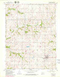
2 editions found
Other maps of this area

1885 · Atchison
USGS Topo · 1:125,000

1886 · Oskaloosa
USGS Topo · 1:125,000

1888 · Oskaloosa
USGS Topo · 1:125,000

1888 · Atchison
USGS Topo · 1:125,000

1888 · Hiawatha
USGS Topo · 1:125,000

1889 · Topeka
USGS Topo · 1:125,000

1893 · Atchison
USGS Topo · 1:125,000

1894 · Oskaloosa
USGS Topo · 1:125,000

1894 · Topeka
USGS Topo · 1:125,000

1894 · Hiawatha
USGS Topo · 1:125,000