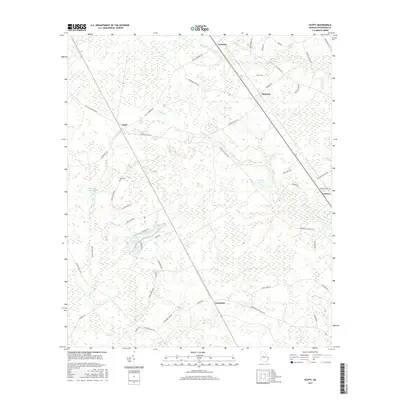
2017 Map of Egypt
USGS Topo · Published 2017About this map
Egypt and the surrounding rural clusters of Ardmore, Shawnee, and Tusculum anchor this landscape in Effingham County, Georgia. The area is defined by a network of named roads that reveal historical connections between these small settlements, including Egypt-Ardmore Rd, Shawnee Egypt Rd, and Springfield-Egypt Rd. Water features like Turkey Br and Cowpen Br drain the low-lying terrain, while Morgan Pond and Griffin Lake appear as localized landmarks. For those looking for genealogical clues, the Elam Cem and family-named routes such as George Hurst Rd and Harry Lindsay Rd provide specific points of interest. The map illustrates a contemporary rural Georgian layout where traditional settlement names persist alongside newer landmarks like the Grafarwill Trust Pond.
Find a feature on this map
50 named features on this map. Tap any name to fly to it.
Don’t see what you’re looking for? This feature index may not catch every label — zoom into the map to look around manually.
Map Details
Editions of this 2017 Egypt Map
This is the sole edition of this map. No revisions or reprints were ever made.
Other maps of this area
1918 · Oliver
USGS Topo · 1:62,500
1919 · Shirley
USGS Topo · 1:62,500
1919 · Egypt
USGS Topo · 1:62,500
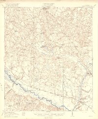
1920 · Oliver
USGS Topo · 1:62,500
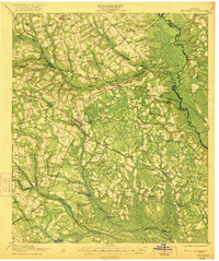
1921 · Brooklet
USGS Topo · 1:62,500
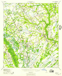
1939 · Egypt
USGS Topo · 1:62,500
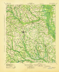
1943 · Brooklet
USGS Topo · 1:62,500
1943 · Egypt
USGS Topo · 1:62,500
1943 · Shirley
USGS Topo · 1:62,500
1943 · Millen
USGS Topo · 1:125,000