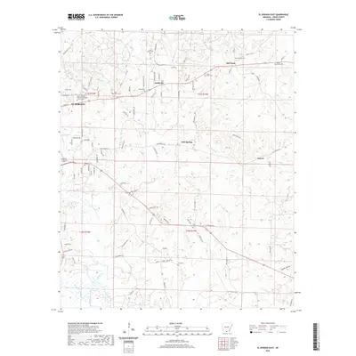
2020 Map of El Dorado East
USGS Topo · Published 2020About this map
The eastern edges of El Dorado give way to the undulating creek basins and small settlements of central Union County in this recent survey. Local heritage is concentrated around longstanding community hubs like Old Union, where the Old Union Cem and nearby Saint Paul Cem mark generational ties to the land. The landscape is defined by its drainages, with Bayou de Loutre meandering through the southern sections while Flat Cr and Mill Cr carve through the northern hills.
Find a feature on this map
100 named features on this map. Tap any name to fly to it.
Don’t see what you’re looking for? This feature index may not catch every label — zoom into the map to look around manually.
Map Details
Editions of this 2020 El Dorado East Map
This is the sole edition of this map. No revisions or reprints were ever made.
Other maps of this area

1927 · El Dorado
USGS Topo · 1:62,500

1930 · El Dorado
USGS Topo · 1:62,500

1933 · Strong
USGS Topo · 1:62,500

1934 · Moro Bay
USGS Topo · 1:62,500

1937 · Strong
USGS Topo · 1:62,500

1938 · Moro Bay
USGS Topo · 1:62,500

1939 · Moro Bay
USGS Topo · 1:62,500

1939 · Strong
USGS Topo · 1:62,500

1951 · El Dorado
USGS Topo · 1:62,500

1953 · El Dorado
USGS Topo · 1:250,000