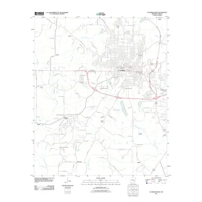
2011 Map of El Dorado West
USGS Topo · Published 2011About this map
The industrial and educational landscape of western El Dorado is prominently displayed in this 2011 survey, centered on the urban core and its southward expansion. A significant portion of the landscape is dedicated to the South El Dorado Oil Field, reflecting the region's long-standing reliance on petroleum extraction. This energy infrastructure sits alongside the campus of Southern Arkansas University and the El Dorado Post Office, illustrating the mix of civic, academic, and industrial activity.
Find a feature on this map
119 named features on this map. Tap any name to fly to it.
Don’t see what you’re looking for? This feature index may not catch every label — zoom into the map to look around manually.
Map Details
Editions of this 2011 El Dorado West Map
This is the sole edition of this map. No revisions or reprints were ever made.
Other maps of this area

1927 · El Dorado
USGS Topo · 1:62,500

1930 · El Dorado
USGS Topo · 1:62,500

1951 · El Dorado
USGS Topo · 1:62,500

1953 · El Dorado
USGS Topo · 1:250,000

1957 · El Dorado
USGS Topo · 1:250,000

1958 · El Dorado
USGS Topo · 1:250,000

1960 · El Dorado
USGS Topo · 1:250,000

1962 · Lisbon
USGS Topo · 1:24,000

1962 · Smackover
USGS Topo · 1:24,000
1962 · Calion
USGS Topo · 1:24,000