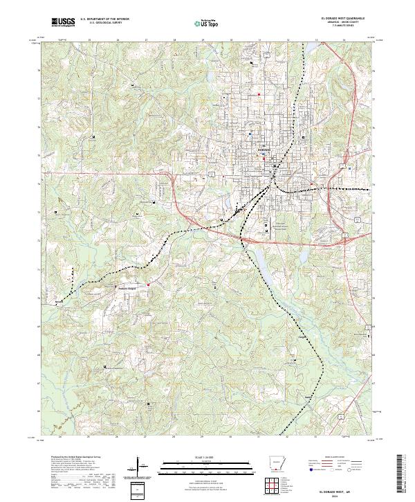
2024 Map of El Dorado West
USGS Topo · Published 2024About this map
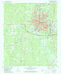
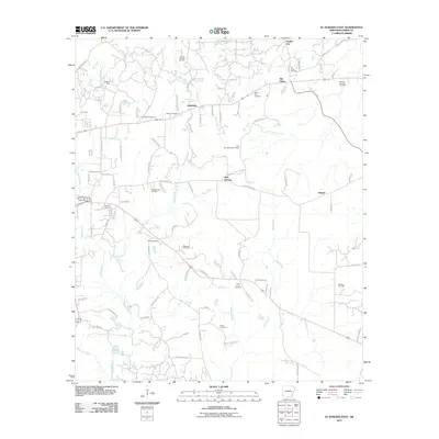
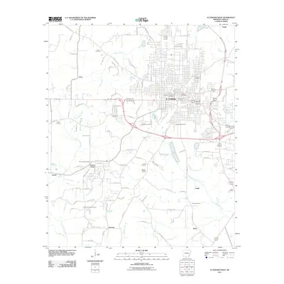
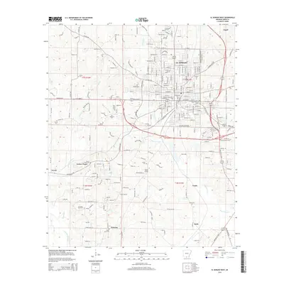
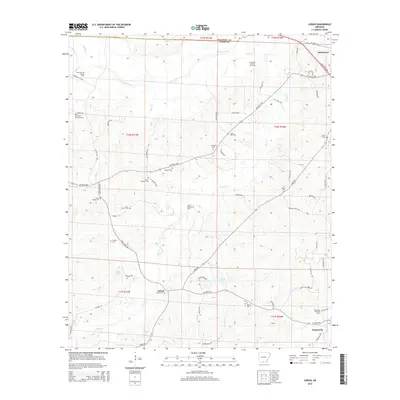
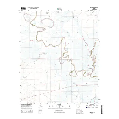
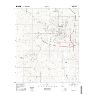
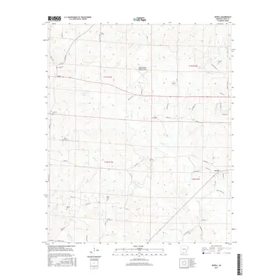
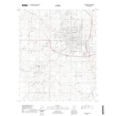
El Dorado serves as the focal point of this Union County survey, centered on the Union County Courthouse and the surrounding street grid. The urban landscape transitions rapidly to the south and west into the drainages of Bayou de Loutre and Little Cornie Bayou, where smaller settlements like Parkers Chapel and Newell are situated. This area is characterized by a high density of small family and community cemeteries, including the Hardin Cem, Centre Point Cem, and Shady Grove Cem, which provide significant data points for genealogical research in this part of Arkansas.
Find a feature on this map
197 named features on this map. Tap any name to fly to it.
Don’t see what you’re looking for? This feature index may not catch every label — zoom into the map to look around manually.
Map Details
Editions of this 2024 El Dorado West Map
This is the sole edition of this map. No revisions or reprints were ever made.
Historical Maps of El Dorado Through Time
60 maps found
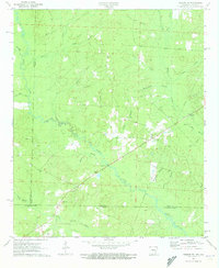
1962 Lisbon
Union County, AR
1971 Marysville
Union County, AR
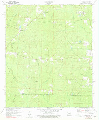
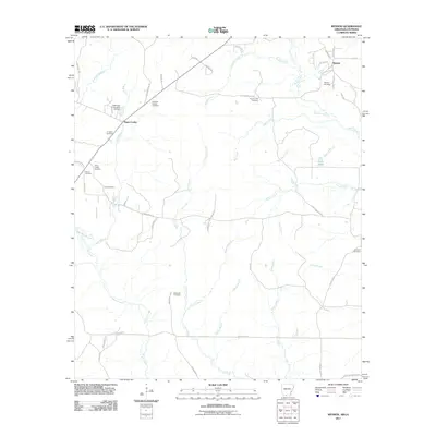
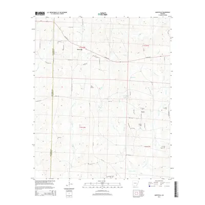
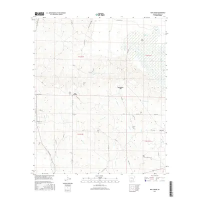
1971 Newell
Union County, AR
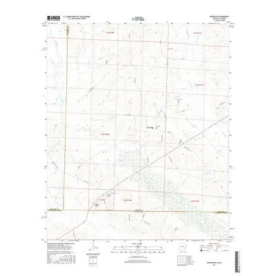
1971 Wesson SW
Union County, AR
1971 Wesson
Union County, AR
1981 El Dorado East
Union County, AR
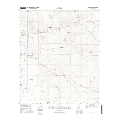
1981 El Dorado West
Union County, AR
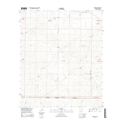
1981 Gardner
Union County, AR
1981 New London
Union County, AR
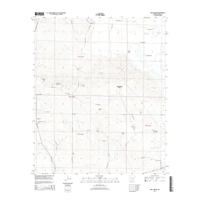
1981 New Union
Union County, AR
2011 El Dorado East
Union County, AR
2011 El Dorado West
Union County, AR
2011 Gardner
Union County, AR
2011 Lisbon
Union County, AR
2011 Marysville
Union County, AR
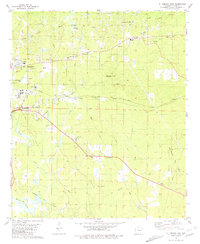
2011 Newell
Union County, AR
2011 New London
Union County, AR
2011 New Union
Union County, AR
2011 Wesson SW
Union County, AR
2011 Wesson
Union County, AR
2014 El Dorado East
Union County, AR
2014 El Dorado West
Union County, AR
2014 Gardner
Union County, AR
2014 Lisbon
Union County, AR
2014 Marysville
Union County, AR
2014 Newell
Union County, AR
2014 New London
Union County, AR
2014 New Union
Union County, AR
2014 Wesson SW
Union County, AR
2014 Wesson
Union County, AR
2017 El Dorado East
Union County, AR
2017 El Dorado West
Union County, AR
2017 Gardner
Union County, AR
2017 Lisbon
Union County, AR
2017 Marysville
Union County, AR
2017 Newell
Union County, AR
2017 New London
Union County, AR
2017 New Union
Union County, AR
2017 Wesson SW
Union County, AR
2017 Wesson
Union County, AR
2020 El Dorado East
Union County, AR
2020 El Dorado West
Union County, AR
2020 Gardner
Union County, AR

2020 Lisbon
Union County, AR
2020 Marysville
Union County, AR
2020 Newell
Union County, AR
2020 New London
Union County, AR
2020 New Union
Union County, AR
2020 Wesson SW
Union County, AR
2020 Wesson
Union County, AR
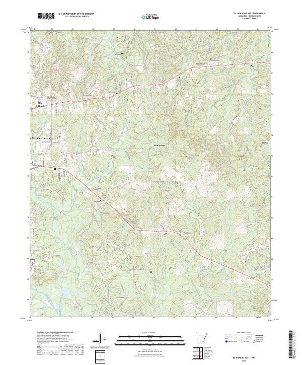
2024 El Dorado East
Union County, AR
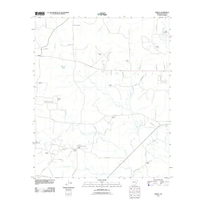
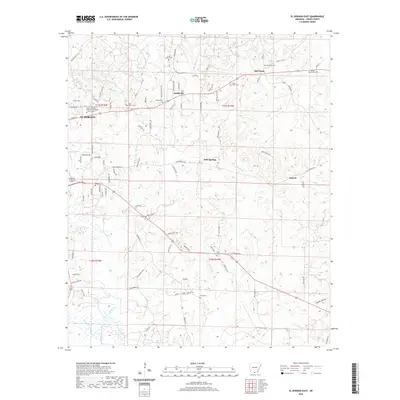
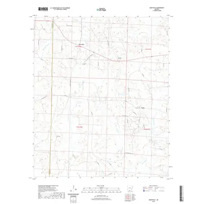
2024 El Dorado West
Union County, AR
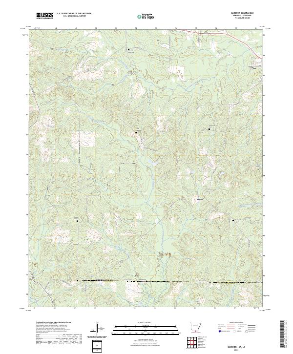
2024 Gardner
Union County, AR
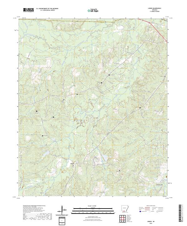
2024 Lisbon
Union County, AR
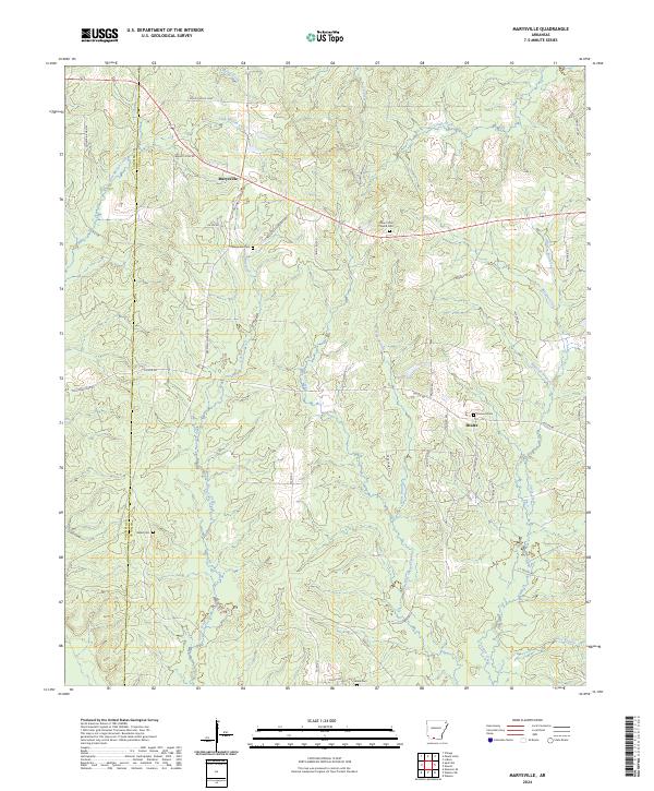
2024 Marysville
Union County, AR
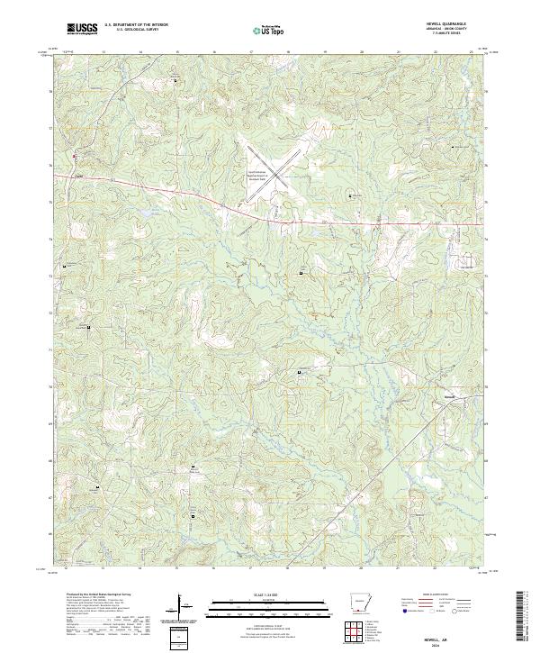
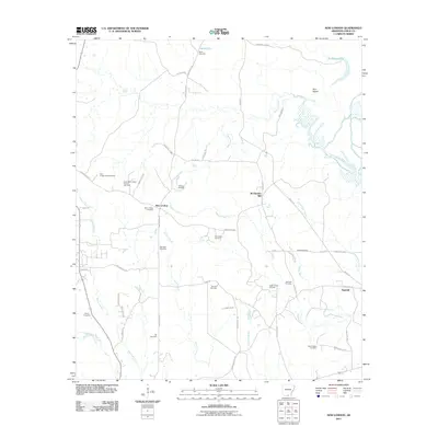
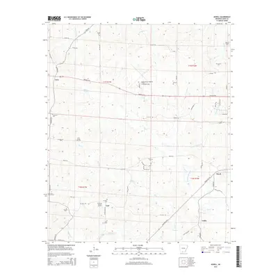
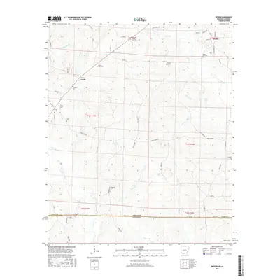
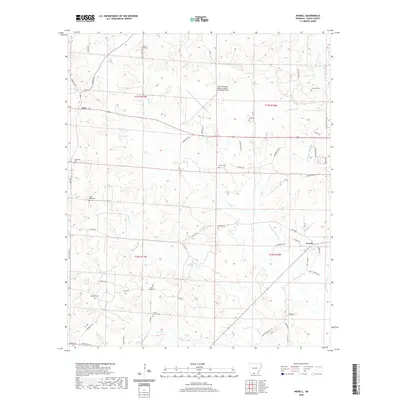
2024 Newell
Union County, AR
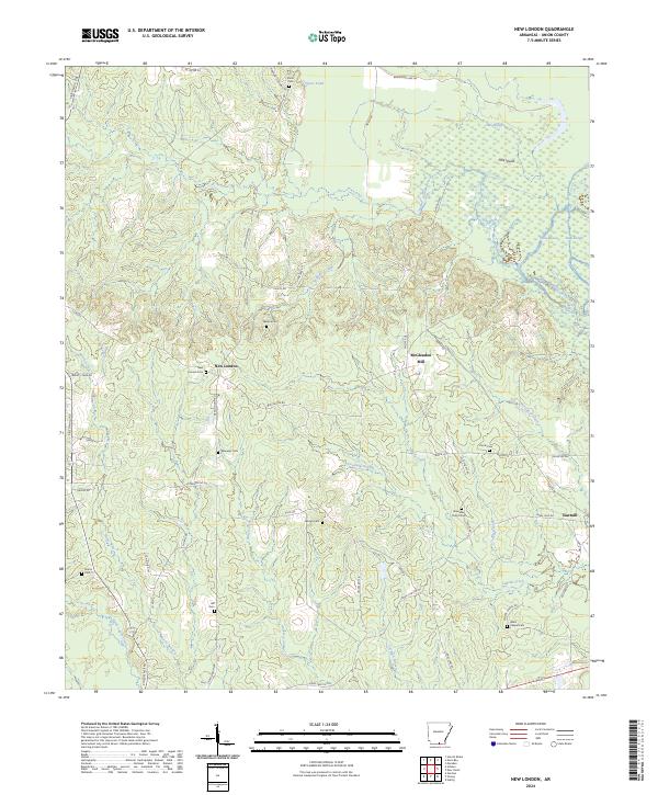
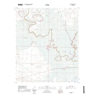
2024 New London
Union County, AR
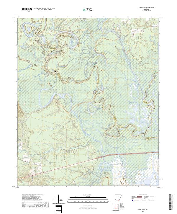
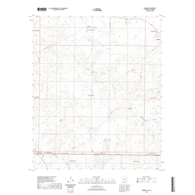
2024 New Union
Union County, AR
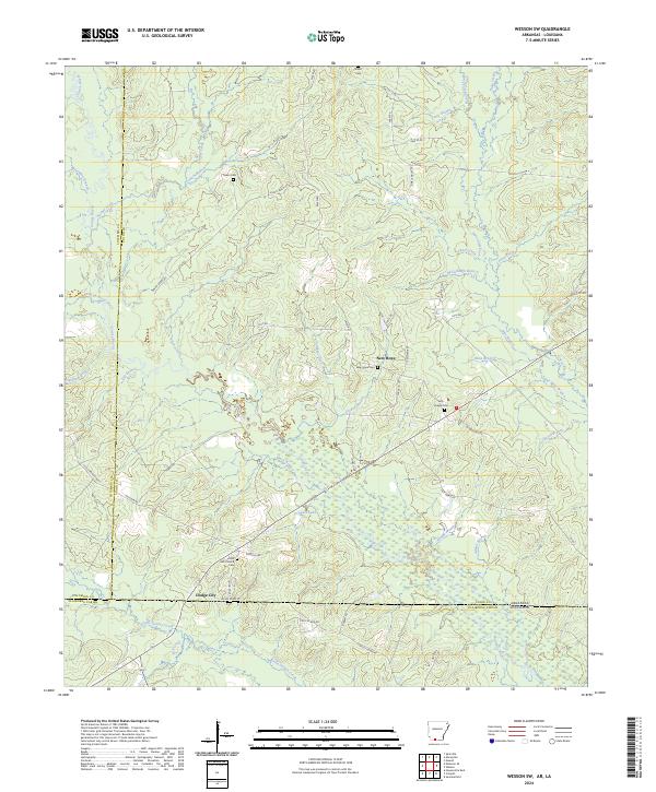
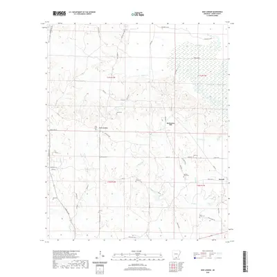
2024 Wesson SW
Union County, AR
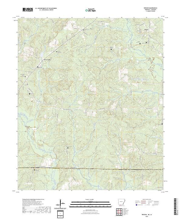
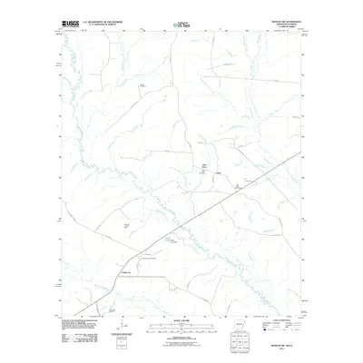
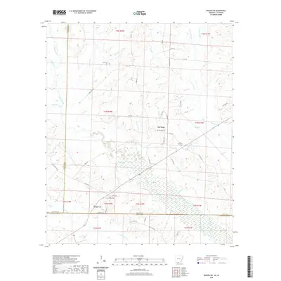
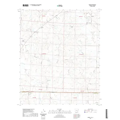
2024 Wesson
Union County, AR