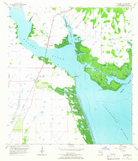
1957 Map of El Jobean
USGS Topo · Published 1965About this map
The Seaboard Air Line railroad bridge serves as a primary transit spine across the Myakka River in this mid-century portrait of coastal Charlotte County. Centered on the waterfront community of El Jobean, the landscape is defined by the complex intersection of the river and Charlotte Harbor. This 1957 survey captures the area before the heavy development of the late 20th century, showing the intricate network of tidal creeks like Sam Knight Creek and Flopbuck Creek that feed into Tippecanoe Bay.
Find a feature on this map
26 named features on this map. Tap any name to fly to it.
Don’t see what you’re looking for? This feature index may not catch every label — zoom into the map to look around manually.
Map Details
Editions of this 1957 El Jobean Map
5 editions found
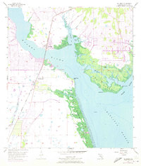
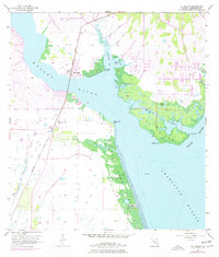
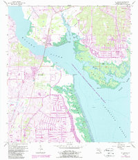
Other maps of this area

1944 · Myakka River
USGS Topo · 1:31,680

1956 · Murdock
USGS Topo · 1:24,000

1956 · Murdock SE
USGS Topo · 1:24,000

1956 · Punta Gorda SE
USGS Topo · 1:24,000

1956 · Englewood
USGS Topo · 1:24,000

1956 · Tampa
USGS Topo · 1:250,000

1956 · Charlotte Harbor
USGS Topo · 1:250,000

1957 · El Jobean
USGS Topo · 1:24,000

1957 · Punta Gorda SW
USGS Topo · 1:24,000

1957 · Punta Gorda
USGS Topo · 1:24,000