
1966 Map of El Monte
USGS Topo · Published 1968About this map
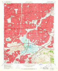
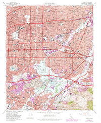
San Gabriel and the historic San Gabriel Mission anchor the northwestern portion of this mid-1960s landscape, showing a dense suburban expansion across the San Gabriel Valley. The survey details the complex hydraulic management of the Rio Hondo and San Gabriel River, converging at the massive Whittier Narrows Dam. Large colonial-era land grants like Rancho Potrero De Felipe Lugo and Rancho La Merced still define the underlying geography, even as the San Bernardino Freeway and Pomona Freeway carve through the terrain. To the south, the Montebello Oil Field and the sprawling grounds of Rose Hills Memorial Park (Cem) occupy the base of the Puente Hills, illustrating the intersection of natural resources, early California landholdings, and mid-century urban planning.
Find a feature on this map
82 named features on this map. Tap any name to fly to it.
Don’t see what you’re looking for? This feature index may not catch every label — zoom into the map to look around manually.
Map Details
Editions of this 1966 El Monte Map
8 editions found
Other maps of this area

1894 · Los Angeles
USGS Topo · 1:62,500

1894 · Pomona
USGS Topo · 1:62,500

1896 · Pasadena
USGS Topo · 1:62,500

1896 · Anaheim
USGS Topo · 1:62,500

1896 · Downey
USGS Topo · 1:62,500

1897 · Pomona
USGS Topo · 1:62,500

1898 · Pomona
USGS Topo · 1:62,500

1898 · Anaheim
USGS Topo · 1:62,500

1899 · Downey
USGS Topo · 1:62,500

1900 · Pasadena
USGS Topo · 1:62,500