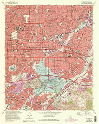
1966 Map of El Monte
USGS Topo · Published 1994About this map
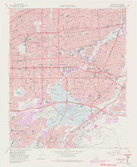
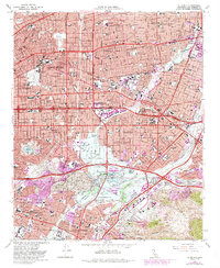
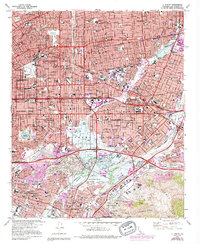
The San Gabriel Mission anchors the historical core of this San Gabriel Valley landscape, surrounded by the suburban expansion of Alhambra, San Gabriel, and El Monte. The mid-1960s development pattern is clearly visible, with dense residential grids pressing against the Rio Hondo and San Gabriel River corridors. A major focal point is the Whittier Narrows Dam and the expansive Whittier Narrows Recreational Area, illustrating how post-war regional planning managed the valley's floodwaters while creating public space around Legg Lake. In the northern section, the Santa Anita Park racetrack stands as a prominent landmark alongside the rising San Marino and Arcadia foothills. To the south, the terrain shifts into the Montebello Hills and the vast grounds of Rose Hills Memorial Park, while the infrastructure of the Pacific Electric and Southern Pacific railroads reveals the industrial backbone that shaped these communities.
Find a feature on this map
132 named features on this map. Tap any name to fly to it.
Don’t see what you’re looking for? This feature index may not catch every label — zoom into the map to look around manually.
Map Details
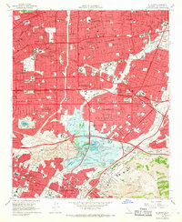
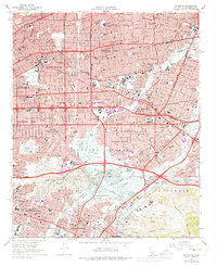
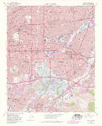
Editions of this 1966 El Monte Map
8 editions found

Other maps of this area

1894 · Los Angeles
USGS Topo · 1:62,500

1894 · Pomona
USGS Topo · 1:62,500

1896 · Pasadena
USGS Topo · 1:62,500

1896 · Anaheim
USGS Topo · 1:62,500

1896 · Downey
USGS Topo · 1:62,500

1897 · Pomona
USGS Topo · 1:62,500

1898 · Pomona
USGS Topo · 1:62,500

1898 · Anaheim
USGS Topo · 1:62,500

1899 · Downey
USGS Topo · 1:62,500

1900 · Pasadena
USGS Topo · 1:62,500