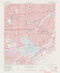
1966 Map of El Monte
USGS Topo · Published 1982About this map
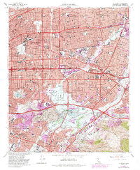
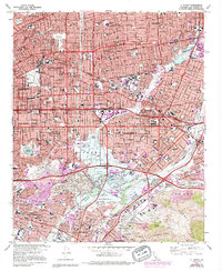
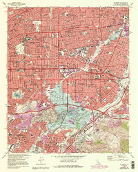
San Gabriel Mission stands as the historical anchor of this San Gabriel Valley landscape, surrounded by the rapid mid-century expansion of Alhambra, San Gabriel, and El Monte. The map reveals a complex infrastructure of flood control and water management, centered on the Whittier Narrows Dam and the Whittier Narrows spreading grounds. The convergence of the Rio Hondo and San Gabriel River creates a significant break in the suburban grid, utilized for the Whittier Narrows County Recreational Area and large water bodies like Legg Lake.
Find a feature on this map
63 named features on this map. Tap any name to fly to it.
Don’t see what you’re looking for? This feature index may not catch every label — zoom into the map to look around manually.
Map Details
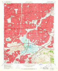
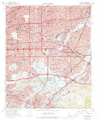
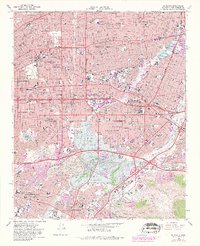
Editions of this 1966 El Monte Map
8 editions found

Other maps of this area

1894 · Los Angeles
USGS Topo · 1:62,500

1894 · Pomona
USGS Topo · 1:62,500

1896 · Pasadena
USGS Topo · 1:62,500

1896 · Anaheim
USGS Topo · 1:62,500

1896 · Downey
USGS Topo · 1:62,500

1897 · Pomona
USGS Topo · 1:62,500

1898 · Pomona
USGS Topo · 1:62,500

1898 · Anaheim
USGS Topo · 1:62,500

1899 · Downey
USGS Topo · 1:62,500

1900 · Pasadena
USGS Topo · 1:62,500