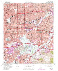
1966 Map of El Monte
USGS Topo · Published 1985About this map
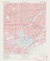
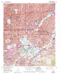
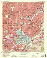
The San Gabriel Mission anchors this mid-century portrait of a rapidly densifying Los Angeles Basin, where historic Spanish land grants like the Paso De Bartolo meet the postwar expansion of infrastructure. By the mid-1960s, the landscape is defined by massive water management projects, most notably the Whittier Narrows Dam and the expansive Rio Hondo Flood Control Basin. These works transformed the convergence of the San Gabriel River and Rio Hondo into a hybrid of utility and recreation, as seen in the development of the Whittier Narrows Recreation Area and Legg Lake.
Find a feature on this map
78 named features on this map. Tap any name to fly to it.
Don’t see what you’re looking for? This feature index may not catch every label — zoom into the map to look around manually.
Map Details
Editions of this 1966 El Monte Map
8 editions found

Other maps of this area

1894 · Los Angeles
USGS Topo · 1:62,500

1894 · Pomona
USGS Topo · 1:62,500

1896 · Pasadena
USGS Topo · 1:62,500

1896 · Anaheim
USGS Topo · 1:62,500

1896 · Downey
USGS Topo · 1:62,500

1897 · Pomona
USGS Topo · 1:62,500

1898 · Pomona
USGS Topo · 1:62,500

1898 · Anaheim
USGS Topo · 1:62,500

1899 · Downey
USGS Topo · 1:62,500

1900 · Pasadena
USGS Topo · 1:62,500